Restricted places
Where you cannot fly
The categories of place that are restricted almost everywhere — and the national maps that tell you exactly where the lines sit.
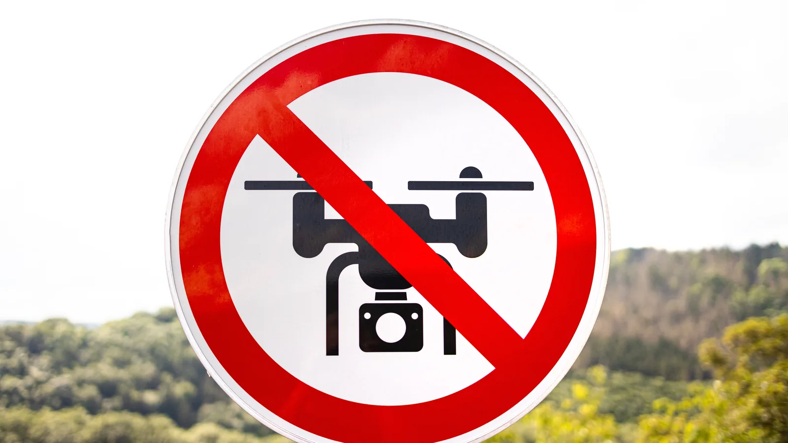
Restricted almost everywhere
Airports and heliports
Every country zones its airports; none of them use the same geometry. Approach corridors often extend the zone far beyond the fence in the runway direction. This is also the category where enforcement is most aggressive — endangering manned aviation is the offence that turns an administrative fine into a criminal case in every jurisdiction we cover.
Military installations and government sites
Bases, training areas, prisons, border posts, royal and government residences. These zones are often smaller than airport zones but carry heavier consequences, and several countries treat photography of them as a separate offence on top of the flight itself.
Critical infrastructure
Power plants, refineries, ports, dams, major bridges. Zoning here has expanded in recent years across the whole continent.
Restricted more often than people think
National parks and nature reserves
The default assumption should be "no, unless I have checked". Wildlife disturbance is the rationale, so restrictions are often strictest in breeding season, and the permit authority is typically the parks or environment agency.
Historic centres and archaeological sites
Many old towns sit inside urban zones. Greece is the sharpest example: flying over an archaeological site without a permit can cost up to roughly €250,000 under Law 4858/2021 — a genuine, sourced figure, and a category of its own. Italy prohibits flights over Vatican City entirely.
Crowds, events and beaches
Assemblies of people are off-limits in every subcategory. Festivals and matches usually get temporary zones on top. Beach rules are often municipal — Spain's summer beach bans are local ordinances, not national law, which is why no national map shows them.
The second rulebook: privacy
Every list above comes from aviation law. There is a second body of law that no zone map shows, and in practice it generates more trouble than airspace ever does: data protection.
The moment your camera records identifiable people, their homes or their gardens, you are processing personal data, and the GDPR applies exactly as it would on the ground. Nothing about being airborne suspends it. A flight can be perfectly legal in airspace terms and still be unlawful in privacy terms — those are separate questions with separate authorities behind them.
Three distinctions are worth holding on to:
- Recording is not the same as publishing. Footage kept for yourself is treated far more leniently than footage put online. The household exemption is narrow and generally does not survive publication.
- Altitude is not anonymity. A wide landscape shot where nobody is recognisable is a different thing from a hover over a garden. Height helps, but framing is what actually decides.
- Several countries add their own layer. Photographing military and government sites is a separate offence in a number of the countries covered here, quite apart from the flight itself.
This also matters because complaints are how most enforcement starts. Very few drone cases begin with a radar track; they begin with somebody who did not like being filmed.
Legal spots that close on the day
A location can be clear on every map you consulted and still be closed when you arrive. Three things do it, and none of them appear in advance:
- Events. Festivals, matches, marches and races routinely get a temporary restriction over the venue and a radius around it, published close to the date.
- Emergency operations. A wildfire, a search, a serious accident. Firefighting aircraft and air ambulances need the airspace, and flying a drone into it is the single fastest way to turn an administrative matter into a criminal one. If you can see emergency services working, the airspace is theirs.
- VIP and security movements. State visits and summits close airspace at short notice, sometimes across a whole city.
All three are published as NOTAMs or in the national app rather than on the standing zone map. That is the reason for checking on the day rather than the night before.
Who can actually stop you
A recurring confusion is worth untangling, because it decides how most on-site disputes end.
Airspace and ground are governed separately. The aviation authority regulates the flight. The landowner controls the ground you stand on — which means permission to take off and land is a property question, not an aviation one. You can be entirely legal in the air and still be trespassing at the launch point, and that is the version that produces an argument in a car park.
Park rangers and municipalities have their own powers. National park rules and municipal ordinances sit outside aviation law and are enforced by their own staff. Spain's summer beach bans are the clearest example: local ordinances, invisible on any national aviation map, enforced by local police.
Police can stop a flight without knowing the drone rules. They generally can, on public-order grounds, and arguing regulation numbers at the scene rarely helps. Land, be civil, and take the argument up afterwards if it was wrong.
Members of the public cannot lawfully take or damage your aircraft — but they can, and occasionally do. Distance and discretion are worth more than being right.
How to check a specific spot
- Open the country page here and find the official map or app under "Apps and official maps".
- Check the exact location — zones can start and stop within a few hundred metres.
- Look for temporary restrictions the same day; events and NOTAMs do not wait for map updates.
- If the spot is in a park or reserve, check the park's own permit rules as well.
There is no single EU-wide distance from airports. Each country publishes its own UAS geographical zones, so check the national map or app before every flight.
Common questions
Can I fly over people on a beach or in a park?
Depends on your subcategory. In A1 (C0/C1 drones) you may overfly individual people but never assemblies — a crowded beach in summer is an assembly. In A2 you keep 30 m away (5 m in low-speed mode). In A3 you should not be near uninvolved people at all. Some countries add local beach or park bans on top; Spain's are municipal, for example.
Can I fly in European national parks?
Usually not without a permit. Most countries zone their national parks against drones, and the permit often comes from the environment agency rather than the aviation authority. Check the country page and the park's own site before you travel — "it's nature, so it must be fine" is exactly backwards.
Can I fly over private property?
Aviation law rarely forbids it outright, but privacy law applies the moment your camera captures people or their homes. GDPR is not suspended because you are airborne. Filming into gardens and windows is what generates complaints — and complaints are how most enforcement starts.