Geographical zones
No-fly zones in Europe
Zones are national, published on national maps, and they do not follow a common formula. Here is how the system actually works.
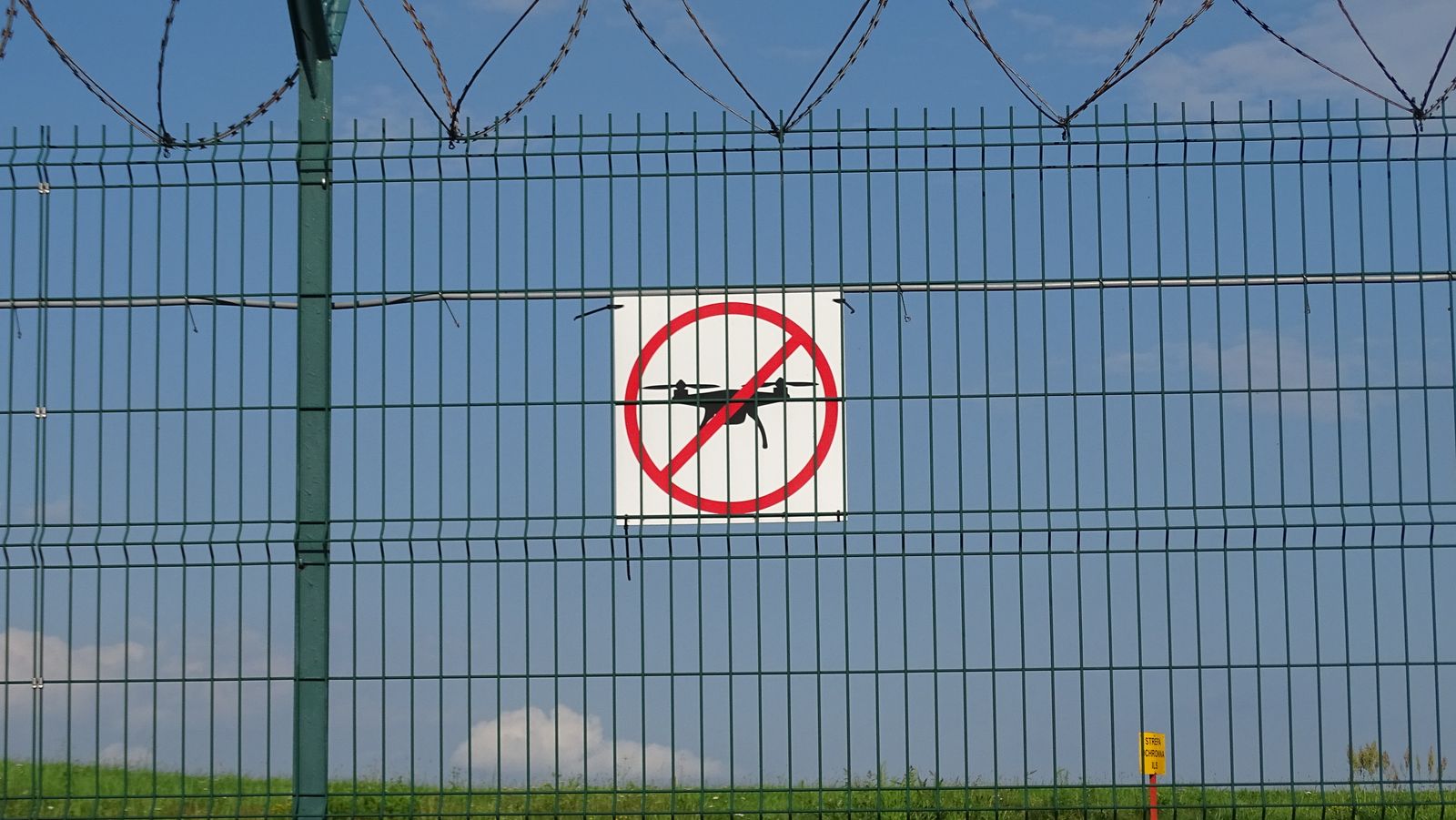
How the zone system works
The EU regulation gives every member state the power to define "UAS geographical zones" — areas where drone flight is banned, restricted, or requires clearance. The regulation deliberately does not say where those zones must be. Each country decides, publishes the zones in a national dataset, and usually offers a map or app on top of it.
That is why the picture changes completely at borders: Malta's airport control zone covers nearly the whole island, Hungary requires an app check-in before every flight, and Latvia added a 50 km night ban along its eastern borders in September 2025. None of that is visible from an "EU rules" summary.
The airport-distance myth
There is no single EU-wide distance from airports. Each country publishes its own UAS geographical zones, so check the national map or app before every flight.
Where does the myth come from? A few countries do use round-number distances for some airport categories, and those figures get copied into "Europe" articles as if they were universal. Greece, for instance, uses 8 km around airports — a Greek rule, not a European one. Assume nothing transfers between countries.
The zone types you will actually meet
- Airport and heliport zones — always present, shaped differently everywhere. The zone often extends along approach paths, not in a neat circle.
- Urban and crowd restrictions — some countries zone whole city centres; others regulate through the A1/A2/A3 people-distance rules instead.
- Protected nature — national parks and reserves are commonly zoned, and sometimes managed by the environment agency rather than the aviation authority.
- Government, military and critical infrastructure — prisons, bases, power plants, ports. These carry the harshest enforcement.
- Temporary restrictions — events, wildfires, VIP movements. Published via NOTAM or the national app, which is why a map check the day before is not enough.
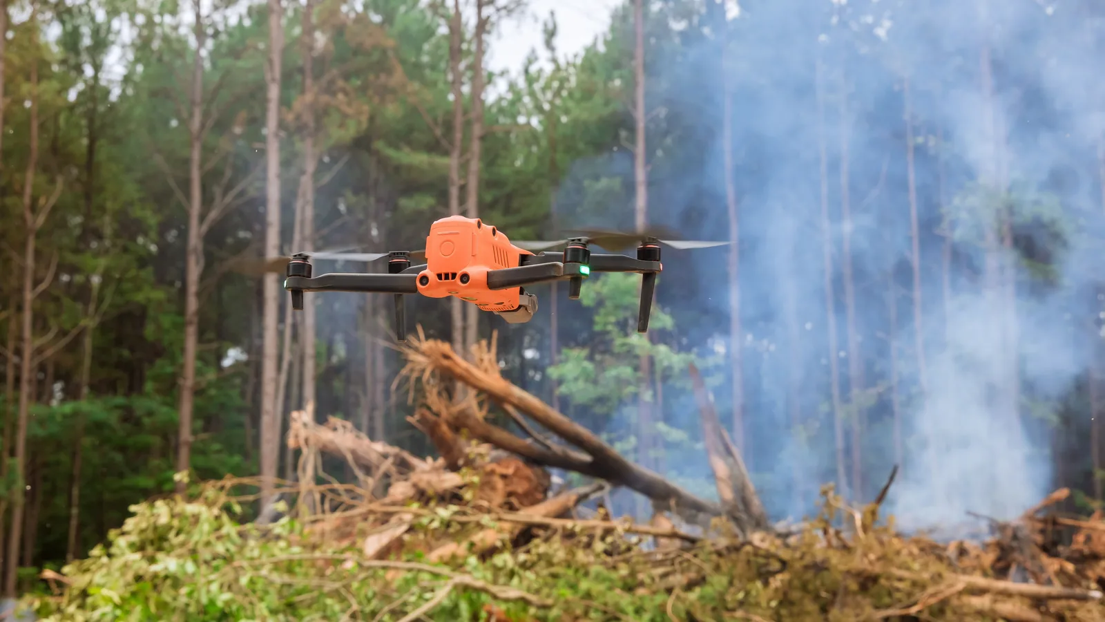
Wildfires illustrate why temporary restrictions matter: the airspace may be needed by crewed aircraft or authorised response drones, and an unexpected private drone can interrupt the operation. Check the official map and current NOTAMs immediately before launch.
Your drone's built-in map is not the law
Most pilots learn the zones from the aircraft: the app warns, or the drone refuses to take off. That was never a legal boundary, and today it is not even a technical one.
DJI reclassified its remaining No-Fly Zones as Enhanced Warning Zones — in Europe in early 2024, and across the rest of its markets by 17 November 2025. The hard blocks are gone. The company's own wording is the part worth remembering: its FlySafe data "does not replace the official airspace data published by national aviation authorities". It is advisory, and always was.
Two consequences follow, and they point in opposite directions:
- A drone that takes off happily is not telling you the flight is legal. Since the blocks were removed, nothing in the aircraft stops you from launching inside a restricted zone. The responsibility moved entirely to you, which is precisely how the regulation always framed it.
- A drone that warns you is not necessarily right either. Manufacturer datasets lag national ones, and they do not carry temporary restrictions at all. A warning is a reason to check the official map, not a substitute for it.
The same holds for third-party apps. If any of them disagrees with the national authority's map, the national map is the one that decides — and it is the one an inspector will open.
Reading a zone map without being fooled
Zone maps look simpler than they are. Four things catch people out:
- Zones have a ceiling and sometimes a floor. A restriction may only bite above a given height, or only below one. A polygon on a flat map tells you nothing about the vertical limits printed in the zone's description — open it.
- Many zones are conditional, not prohibitive. The regulation lets states create zones where flight is allowed with clearance, or under stated conditions. Red on a map often means "ask", not "never". Which is worth knowing before you cancel a shoot.
- Zones can be time-bound. Some are active only in certain hours, seasons or during specified activities. Latvia's border restriction is a night rule; breeding-season park closures come and go.
- Edges are sharper than they look. Zones start and stop within a few hundred metres, and approach corridors extend along the runway direction rather than in a circle. Standing outside the shaded area on your phone is not a margin.
And check on the day. A map consulted the evening before will not contain the NOTAM issued that morning for an event, a VIP movement or a wildfire.
Official maps, country by country
Every country page lists the national app and map under "Apps and official maps". A few worth knowing by name:
- Spain: ENAIRE Drones - official Spanish airspace app
- Poland: DroneTower — the app for reporting every flight, mandatory since 2025. It replaced Check-In in April 2024, which had itself replaced DroneRadar in September 2023. Do not use either of the older two
- Netherlands: GoDrone (godrone.nl) — the air navigation provider's official app and website: where you may fly, and the channel for mission plans and clearances in controlled airspace
- Czech Republic: DroneMap (dronemap.gov.cz) — the official zone map, run by the civil aviation authority with the air navigation service. The CAA recommends it by name
- Hungary: MyDroneSpace (mydronespace.hu) — official, developed and run by HungaroControl, the Hungarian air navigation provider. Airspace information and ad-hoc airspace requests
- Greece: DAGR (Drone Aware GR) at dagr.hasp.gov.gr — the airspace-awareness and flight-request system. HCAA calls checking it mandatory before any flight. Note it moved off the HCAA domain to the air navigation provider's
If a third-party app disagrees with the national one, the national one wins. Several once-popular consumer apps have shut down or stopped updating their European data, so an installed app from a few years ago is a liability, not a tool.
Common questions
Is there a standard no-fly distance from airports in the EU?
No. This is the single most repeated piece of misinformation about European drone law. Each country defines its own zones around airports — some use control zones with complex shapes, some use fixed radii, and the numbers differ. The only reliable method is the national map or app.
Where do I find the official no-fly map for a country?
Every country page on this site lists the national geo-zone map or app under "Apps and official maps". They are run by the aviation authority or the air navigation service provider — sources like a manufacturer's built-in map are a convenience, not the legal reference.
Are no-fly zones the same for a 249 g drone?
Mostly yes. Geographical zones apply by area, not by drone weight, unless the zone's own definition says otherwise. A lightweight drone does not grant access to a restricted zone.