Introduction: “Urban” Is Not a Permission Category
European drone law does not provide one rule for every city. A flight is determined by the aircraft’s class and operating subcategory, the people and property below, the national UAS geographical zones, local or site rules and any privacy or security restrictions. A small park can be legally complex; a quiet industrial edge can be simpler. The city name alone gives neither permission nor prohibition.
This guide replaces broad claims that famous capitals are simply “open” or “closed”. The only reliable answer comes from the current official map and the exact route, date, aircraft and operating conditions.
Why Urban Plans Often Fail the Open-category Test
People and the aircraft class
Assemblies of people may never be overflown in the Open category. For individual uninvolved people, the conditions depend on the class mark and subcategory. C0 aircraft operated in A1 have the most flexibility, although overflight should be avoided where reasonably possible. C1 aircraft must not be intentionally flown over uninvolved people. A2 with a C2 aircraft uses prescribed horizontal distances, while A3 requires the operation to be far from uninvolved people and at least 150 metres from residential, commercial, industrial or recreational areas.
A sub-250-gram aircraft is therefore not an “urban permit”. It may solve one part of the people-distance question while leaving geographical zones, assemblies, privacy, land access and local restrictions unchanged.
Overlapping geographical zones
Cities can contain airport or heliport zones, security restrictions, prisons, government sites, hospitals, critical infrastructure, heritage areas and temporary zones for events or emergency operations. Select the exact point on the official national UAS map and read every overlapping condition, including height, time, notification and authorisation requirements.
Ground risk, obstacles and radio environment
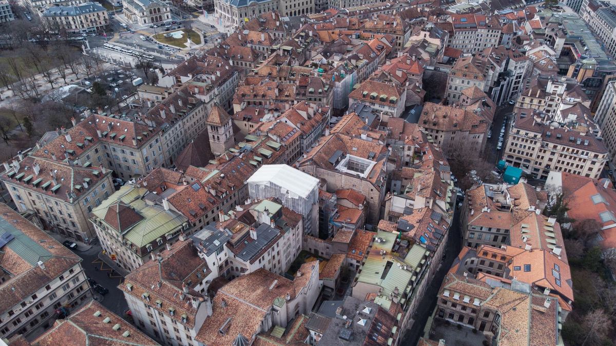
Buildings create turbulence, visual obstructions and limited emergency landing options. Cranes, cables, antennas and glass façades add hazards that may not appear in an app. Radio interference and multipath effects can degrade command or navigation performance. Open-category compliance still requires visual line of sight and a safe operating environment; a strong video feed is not a substitute.
Privacy and security
Apartment windows, courtyards, offices, schools and private gardens make collateral recording likely. Aviation permission does not authorise surveillance or publication. Security-sensitive sites can also be restricted by national law or a geographical zone even when they are visually attractive subjects.
How to Check Any European City
A city-by-city list becomes inaccurate as zones and local rules change. Use the same evidence-based sequence in Paris, Rome, Amsterdam, Prague or a small town:
- Start with the destination authority. Use EASA’s NAA directory or the national civil aviation authority outside the EASA system.
- Open the official UAS map. Plot the full route, not only the launch point.
- Read all conditions. A coloured polygon may allow a lower height, require contact with an authority or prohibit the flight.
- Check the aircraft and people plan. Confirm class mark, subcategory and the real likelihood of uninvolved people entering the area.
- Check site control. Parks, squares, monuments, rooftops and private land may have separate access or filming rules.
- Check privacy and security. Plan the camera view as carefully as the flight path.
- Recheck on the day. Temporary zones, events, construction and emergency work can invalidate an earlier plan.
Our country pages collect the responsible authority and planning-map link. Use them to reach the source, then rely on the source’s live conditions.
Finding a Workable Urban Location
Search for a location where the legal and physical constraints genuinely align; do not begin with a desired landmark and look for a loophole. A workable plan needs a compliant route, controlled launch point, predictable separation from people, suitable emergency area, visual line of sight and a camera angle that does not intrude into homes or private activity.
Parks, waterfronts and rooftops are not automatic solutions
An urban park is a recreational area, which is especially relevant to A3, and the park manager may restrict take-off or filming. Waterways contain boats and people and may sit inside port or security zones. A rooftop can introduce fall risk, turbulence, property consent and people below. Evaluate each as a complete operation rather than assuming that open-looking space is legally empty.
Timing helps only with dynamic conditions
Early morning or off-season timing may reduce uninvolved people, but it does not suspend a permanent geographical zone or site rule. Noise can also be more intrusive when residents expect quiet. If the plan depends on a street remaining empty, establish how you will stop or land when the first person enters it.
Use ground-based alternatives
Public viewpoints, towers, licensed stock footage, pole photography and wide panoramas can create an elevated city view without introducing an aircraft over people. A commissioned operator with the appropriate authorisation may be an option for a defined professional need, but commercial purpose by itself neither grants access nor changes an Open-category flight into an authorised Specific-category operation.
Smaller Does Not Mean Unrestricted
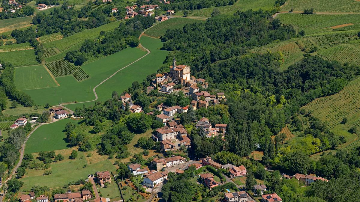
A smaller town may have fewer people and less controlled airspace, but it can still include a heliport, prison, military site, protected monument or dense historic centre. Do not use population size as a proxy for legality. It is more useful to compare the exact official zones, site rules and operating environment.
Rural edges or a distant viewpoint may offer a city skyline while keeping the operation outside the dense centre. Confirm that the aircraft remains within visual line of sight and does not enter a restricted polygon while the pilot stands outside it.
Operational Controls for an Authorised Urban Flight
- Use an aircraft whose class and performance suit the planned subcategory.
- Survey obstacles, antennas, cables, reflective surfaces and emergency landing areas.
- Set conservative wind and battery limits for turbulence and constrained recovery.
- Use a second person when helpful for observing people and hazards, without confusing roles.
- Brief the stop conditions: an approaching aircraft, crowd formation, lost visual reference, unexpected people or a security request.
- Keep registration, competency, insurance and permissions accessible.
- Record only what is needed and review material before publication.
Do not rely on obstacle sensors, return-to-home or manufacturer geofencing to make the operation legal. Sensors can miss wires or reflective surfaces, GNSS can be degraded, and a pre-programmed return route can itself cross an unsafe area.
When the Open Category Does Not Fit
If the operation cannot remain within Open-category limits, it may require the Specific category and an operational authorisation or another applicable route. That process is risk-based and does not guarantee approval for a preferred city-centre shot. A separate geographical-zone flight authorisation, land access, privacy compliance and site permission may still be required.
Apply early and describe the exact operation, mitigations, personnel, aircraft and location. Never conduct the flight first on the assumption that professional work, insurance or a client contract makes it acceptable.
Official Sources
- EASA: drones in the Open category
- EASA: geographical zones
- EASA: National Aviation Authorities and official maps
- EUR-Lex: Regulation (EU) 2019/947
Conclusion
Urban drone flying is possible only when every layer of the exact operation works together. A small drone, empty-looking square or early hour may reduce one risk but does not create permission. Use the official map, apply the correct class and subcategory rules, control the launch site, protect privacy and keep a ground-based alternative when the city cannot safely accommodate the flight.
Rules change and vary by country. Check the national authority before you fly — every country page links straight to it.