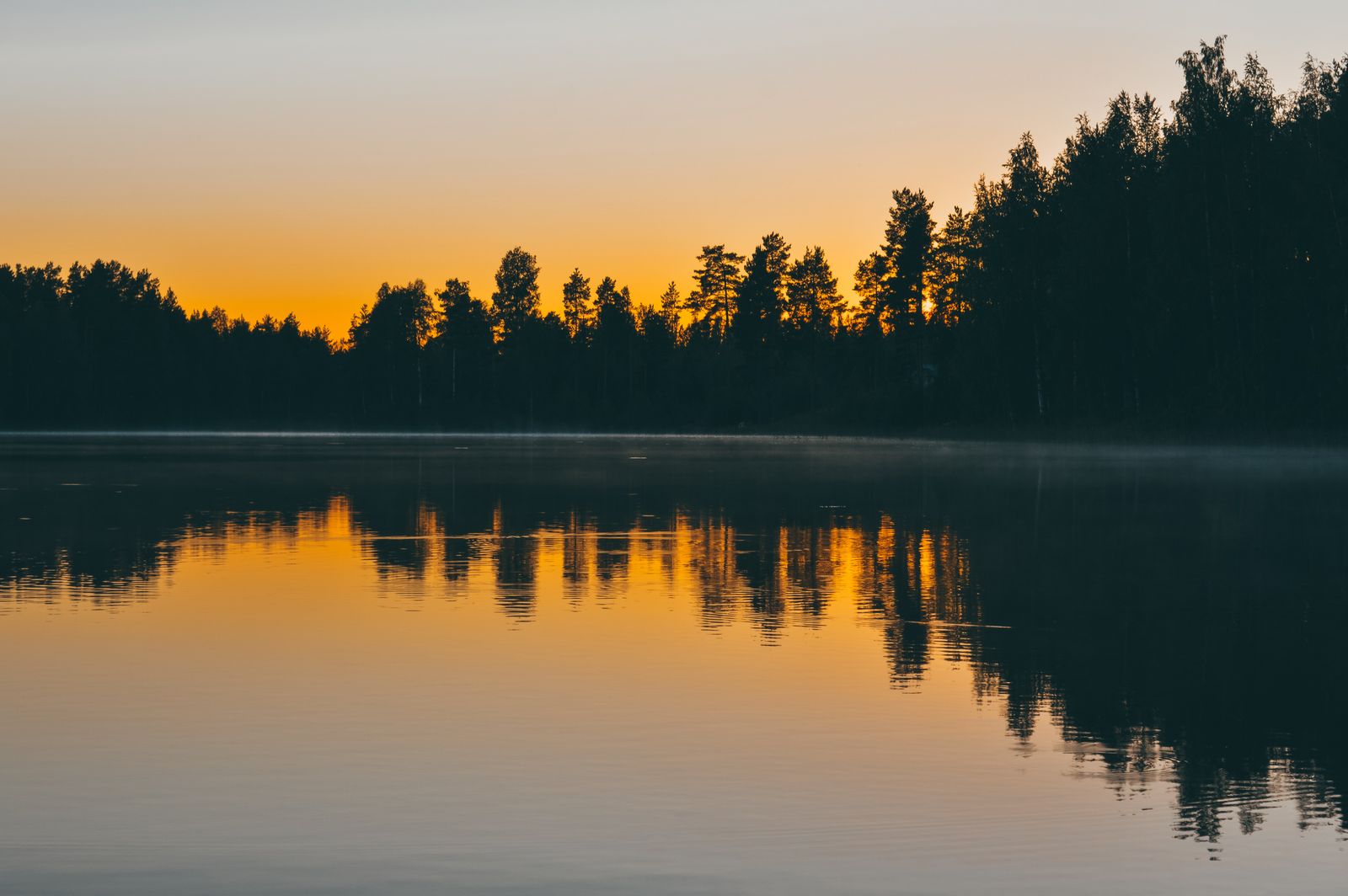
Short Answer: Finnish Lakeland Can Work, but Exact Checks Matter
Finnish Lakeland is broad enough that responsible Open-category flights can be possible. It is also dotted with aerodromes, heliports, military restrictions, settlements, national parks, nesting islands and private shoreline. Traficom requires pilots to check official airspace information and current restrictions before every operation.
Unlike a landmark with one site-wide prohibition, this guide provides a selection method: prefer quiet, non-protected shore or forest locations with confirmed access, clear visual line of sight and no wildlife disturbance.
Use Official Airspace Information
Traficom states that valid restrictions and prohibitions come from national regulations, decisions and the Aeronautical Information Service. Flyk and Fintraffic Sky can help visualise them, but the current AIP, NOTAM and applicable zone conditions remain authoritative.
Restrictive UAS geographical zones replace generic distance rules around Finnish airports, airfields and heliports. If zones overlap, all conditions apply. Eastern Finland also requires attention to the ADIZ and the EFR100 border restriction; a scenic lake close to the eastern border can therefore be a poor visitor-flight choice.
Protected Nature Is Not One Blanket Rule
Traficom explains that flying over a nature reserve is not automatically prohibited in every case, but disturbing nature and wildlife is prohibited. Metsähallitus manages state protected areas and publishes area-specific rules. Its current management principles recommend avoiding drones in nature reserves and important conservation sites from 1 March to 30 October, especially near bird colonies, nesting areas and busy national-park destinations.
That recommendation and site rules matter in Lakeland's islands, bays and parks such as Linnansaari, Kolovesi, Päijänne and Etelä-Konnevesi. Read the individual destination's current restrictions rather than transferring an answer from another lake.
Water Changes the Risk
Traficom warns that reflections from water can disturb downward sensors. Plan a conservative return margin, avoid low passes above boats and swimmers, and keep the aircraft directly visible. An island, headland or tree line can break VLOS even when the map distance appears short.
Do not launch from a jetty, cottage yard or managed recreation site without establishing your right to use it. Minimise recording of cabins, saunas and people on private shorelines.
What About a Drone Under 250 g?
Low weight offers more A1 flexibility but does not remove geographical zones, wildlife protection, privacy or site-specific access rules. A camera normally triggers operator registration. All drones must remain clear of assemblies and yield to crewed aircraft.
See the Finland drone-law guide for registration, the eastern-border context and current national rules.
A Useful Lakeland Location Strategy
- Prefer a specific non-protected lake or shore away from settlements and the eastern border.
- Check official AIS material, current UAS zones, NOTAM and airspace activation.
- Check Metsähallitus or the relevant land manager for nature and access rules.
- Avoid nesting islands, birds, grazing animals, boats and busy recreation areas.
- Confirm a take-off point with open sightlines and a safe forced-landing plan.
- Set wind, visibility, battery and water-recovery limits before launch.
The pre-flight checker can save the reasoning and official links for the chosen point.
Ground and Water-level Alternatives
A shoreline panorama, canoe-level photograph or elevated public viewpoint often communicates Finland's lake-and-forest pattern better than a high flight. Follow boating rules and land-access conditions, protect equipment and avoid exposing exact coordinates of sensitive nests.
Official Sources
- Traficom: prohibited and restricted areas
- Traficom: airspace sources, maps and nature reserves
- Traficom: flight planning, water and helicopter precautions
- Metsähallitus: protected areas and management responsibility
- Metsähallitus: protected-area management principles and drone guidance
Lakeland Rewards Exact, Quiet Choices
Finnish Lakeland is one of the better regions for finding a defensible alternative to a famous crowded landmark. Its scale is not permission, though. Select one exact shore, verify airspace and nature, keep away from wildlife and homes, and use the minimum flight needed for the composition.
Rules change and vary by country. Check the national authority before you fly — every country page links straight to it.