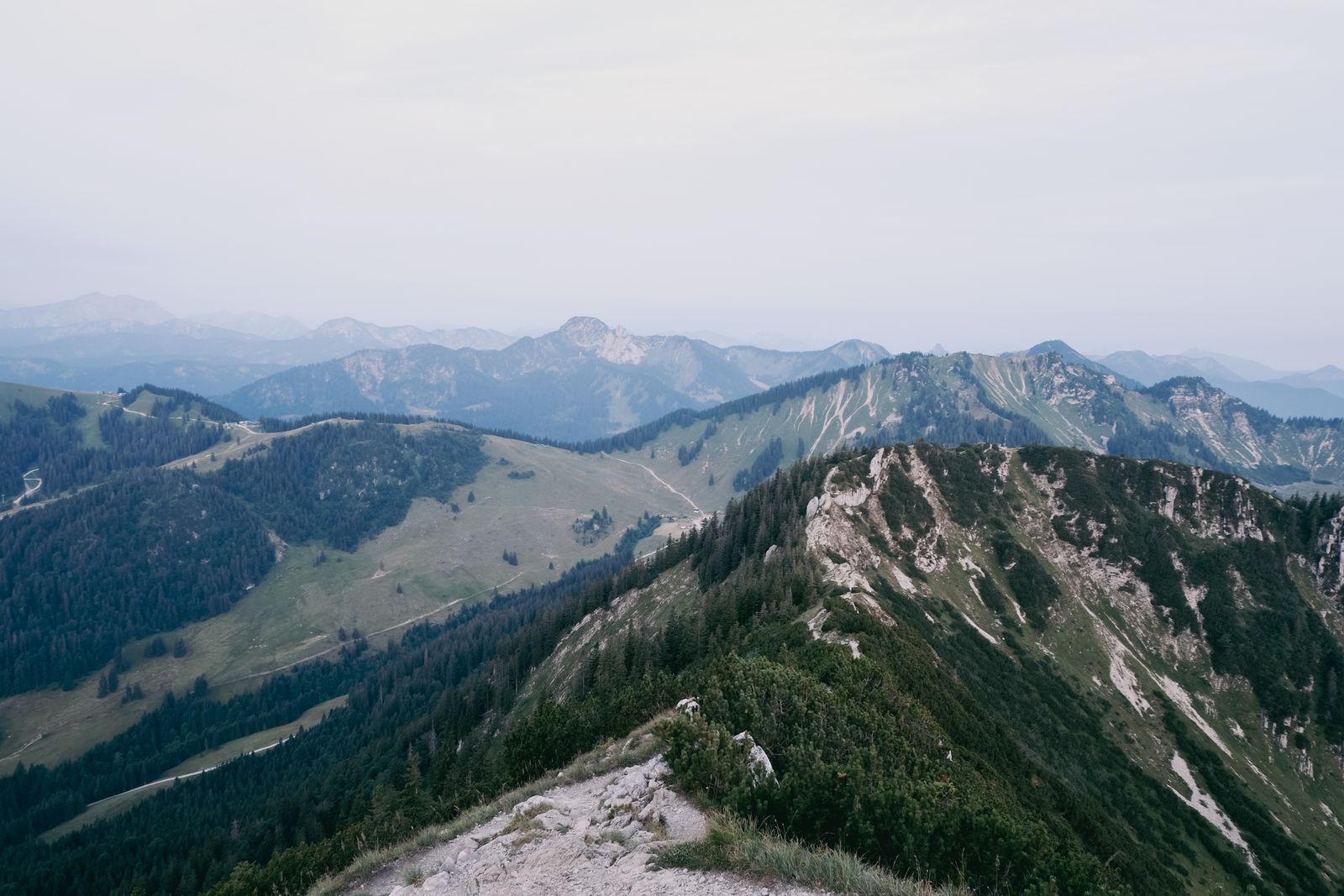
Short Answer: Look Outside Protected and Busy Mountain Areas
The Bavarian Alps contain possible flight locations, but famous summits, lakes and protected areas are not safe defaults. Germany's official dipul Map Tool identifies geographical UAS areas and their conditions. Bavarian nature-protection boundaries and the legally binding ordinance for each protected area require a separate check.
A workable plan is usually a quieter exact location outside nature reserves, national parks, populated areas and infrastructure buffers, with land access and Alpine air traffic assessed on site.
dipul Is the Official Map Starting Point
Germany's federal and state guidance says geographical UAS areas are published through dipul, with the name or number of the area and a reference to the applicable requirements. The legal framework remains decisive, and doubts should be taken to the competent state aviation authority.
Relevant areas can include nature reserves, national parks, residential property, infrastructure, bathing beaches, airports and incident sites. Manufacturer geofencing is not a substitute for this check.
Use Bavaria's Legally Binding Protection Documents
The Bavarian Environment Agency publishes protected-area lists and geodata, but explicitly states that the legally binding sources are the ordinance text and ordinance map held by the competent nature authority. The map is therefore a screening tool, not the final legal answer.
German aviation rules place strong conditions on operations over nature reserves and national parks. Where consent or an exception is needed, obtain it from the competent authority before flying. Bavaria's own conservation work notes that sensitive-area drone operations require adapted procedures and corresponding exemptions.
Mountain Aviation and VLOS
Expect rescue and police helicopters, paragliders, hang-gliders, sailplanes and model-aircraft sites. Land immediately for crewed traffic and stay clear of emergencies. Ridges and bowls can mask the aircraft and radio path; the general 120-metre limit follows the closest surface.
Cableways, huts, summit platforms, roads and lake shores can concentrate uninvolved people. A quiet-looking frame does not prove the route satisfies A1, A2 or A3.
What About a Drone Under 250 g?
Low weight does not remove dipul geographical areas, nature restrictions, residential-property conditions, privacy or the ban on flying over assemblies. A camera normally triggers operator registration, and Germany requires liability insurance for drone operations.
See the Germany drone-law guide for registration, insurance and competency details.
A Better Bavarian Alps Strategy
- Choose a visual subject outside a famous summit platform or protected landmark.
- Draw launch, route and recovery area in the dipul Map Tool.
- Compare the route with Bavaria's official nature-protection geodata.
- Read the legally binding ordinance and contact the competent authority when required.
- Confirm land access and avoid homes, crowds, cableways and livestock.
- Check weather, VLOS, paragliding and helicopter activity immediately before launch.
Use the pre-flight checker to organise the evidence and stop when a layer remains unresolved.
Better Ground-based Alternatives
Public hiking routes and authorised cableway viewpoints already provide elevation. A longer lens can layer ridges without placing an aircraft near wildlife or air-sport traffic. Follow local signs, remain on permitted routes and do not use private pasture as an assumed launch area.
Official Sources
- dipul: official German Map Tool
- Federal and state authorities: common UAS operating principles
- Bavarian Environment Agency: protected-area lists and binding-source warning
- Bavarian Environment Agency: protected-area geodata
The Alternative Pin Is the Valuable Part
The Bavarian Alps guide cannot responsibly recommend every iconic lake or summit. Its value is the selection method: dipul, binding nature documents, ground access and real Alpine traffic. A quieter verified valley or meadow edge can be both safer and more original than a prohibited landmark flight.
Rules change and vary by country. Check the national authority before you fly — every country page links straight to it.