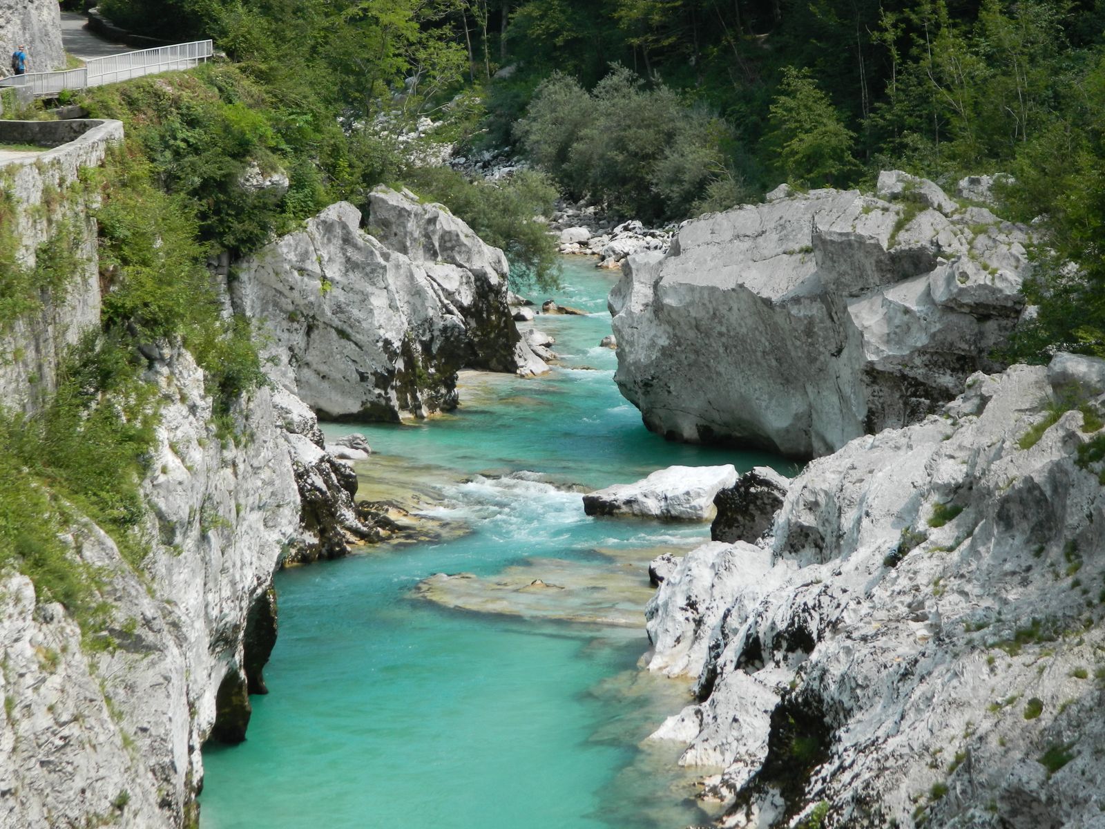
Short Answer: Split the Soča Valley into Park and Non-park Locations
The Soča Valley is not one drone location. Much of the upper valley—including the source, Trenta, the Great Soča Gorge and Lepena—lies inside Triglav National Park, where drone use in the natural environment is prohibited without the park's prior consent. Locations farther down the valley still require an exact check in Slovenia's official UAS geographical-zone map.
Bovec aerodrome, populated-area restrictions, roads, visitors, steep gorges and rescue traffic can change the answer outside the park. Start with coordinates and boundaries, not an Instagram place name.
Triglav National Park Requires Prior Consent
The park's official code of conduct states that drone use in the natural environment is prohibited without prior consent. The park covers about 840 square kilometres, including substantial parts of Bovec municipality and well-known Soča subjects.
The official Soča Trail and park information identify the source and upper river features as park destinations. Launching across a road or outside a trailhead does not create permission to fly into the protected area. A request is not an approval until the park confirms it.
Use Slovenia's Official CAA Zones
Slovenia's Civil Aviation Agency publishes the geographical restrictions that apply in addition to the EU Open-category rules. It warns that manufacturer geofencing may not match the official data. Use the CAA's current 2D map for planning; its 3D application is intended for flight announcements and may omit the populated-area layer.
The CAA also highlights restrictions in built-up areas where people are present. Bovec aerodrome and other aviation activity require an exact route check. Where a flight announcement is applicable, the CAA publishes a form and instructs operators to send it at least 12 hours before the operation; notification does not cancel any other restriction.
Gorges Create VLOS and Rescue Risks
Rock walls and bends can hide the aircraft and radio path within seconds. The 120-metre limit is measured from the closest terrain, not simply from the take-off point. People may appear on paths, bridges, roads, rafting routes and canyon access below.
Expect helicopters and emergency activity in Alpine terrain. A drone must yield to all crewed aircraft and stay clear of rescue operations. Turquoise water does not make a narrow gorge an empty operating area.
What About a Drone Under 250 g?
A sub-250-gram drone does not override Triglav National Park consent, official geographical zones, populated-area conditions, privacy or assemblies-of-people rules. A camera normally still requires operator registration.
See the Slovenia drone-law guide for registration, competency and national requirements.
Better Ways to Photograph the River
Official paths and bridges already provide elevated views into the gorge. A polarising filter can reduce reflections; a longer lens can isolate water and rock without approaching wildlife or visitors. Follow current trail closures and signs.
For a drone composition, research a quiet, exact point outside Triglav National Park and outside restrictive CAA layers, then verify access with the landowner or site manager. Do not publish a launch coordinate in a fragile riverbank area.
Soča Valley Planning Workflow
- Plot launch, route and recovery area against the Triglav National Park boundary.
- Draw the full operation in the Slovenian CAA 2D geographical-zone map.
- Read built-up-area and aerodrome conditions, including Bovec.
- Obtain park consent or other required notification before treating the plan as viable.
- Confirm take-off and landing access.
- Recheck people, paddlers, wildlife, wind, terrain, VLOS and rescue traffic.
Use the pre-flight checker to document the layers without turning them into a false blanket “allowed” result.
Official Sources
- Slovenian CAA: official UAS geographical restrictions
- Triglav National Park: code of conduct and drone consent
- Triglav National Park: boundaries and municipalities
- Triglav National Park: Soča Valley landmarks and current-condition guidance
The Boundary Is the First Decision
For the upper Soča, the park's prior-consent rule gives the useful answer. Elsewhere, use exact coordinates and the CAA map rather than assuming the whole valley is equivalent. Ground photography is the default at the famous gorges; a drone plan belongs only at a separately verified, lower-impact location.
Rules change and vary by country. Check the national authority before you fly — every country page links straight to it.