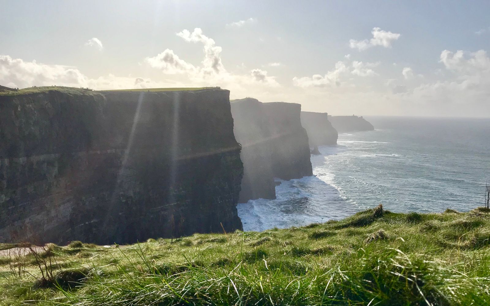
Short Answer: Do Not Fly at the Main Visitor Site
Do not plan a recreational drone flight at the Cliffs of Moher Experience. The site's published environmental policy calls it a “No Drone Zone”. The cliffs are also a protected seabird area, and the site's filming guidance says drones are prohibited during the bird-nesting season from April through September.
That does not prove that every point along the entire County Clare coast is permanently closed by one aviation rule. It does mean the famous visitor-site shot is a poor flight plan: a site prohibition, protected birds, exposed terrain and large visitor numbers all converge there.
The Visitor Site Has Its Own No-drone Rule
The Cliffs of Moher Experience states that it operates a No Drone Zone. Its environmental policy also explains that the protected Special Protection Area extends beyond the visitor-site boundary and includes the cliff face. Moving the pilot outside a gate is therefore not a sensible workaround.
The site's filming-inquiries page provides a route for organised filming requests, but an inquiry is not approval. It also states that drones are prohibited during nesting season, April to September. A visitor should not interpret a commercial contact form as permission for an ordinary flight.
Airspace Still Needs a Separate Check
A site rule and an aviation restriction are different layers. The Irish Aviation Authority says its UAS geographical-zone viewer is a reference tool and tells pilots to check current geographical zones, temporary restricted areas and NOTAM before each flight. A map that appears clear does not cancel land-manager, environmental or data-protection requirements.
If you research a different part of the coast, plot the launch point and the complete route—not just the subject. Maintain visual line of sight, stay within the Open-category height limit and give way to every crewed aircraft. The Atlantic edge can create turbulence, strong wind and rapid visibility changes.
The Cliffs Are a Protected Seabird Site
The National Parks and Wildlife Service lists the Cliffs of Moher Special Protection Area as site 004005. Its qualifying birds include fulmar, kittiwake, guillemot, razorbill, puffin and chough. The aircraft's noise and approach can disturb birds even when the pilot remains on a public path.
April to September is explicitly closed to drone filming in the site's published guidance. Outside those months, the visitor site's No Drone Zone still remains the relevant answer. Seasonal wording is not an invitation to fly in winter.
What About a Drone Under 250 g?
A sub-250-gram aircraft can reduce some EU Open-category separation and training requirements, but it does not remove a geographical zone, an assembly-of-people rule, a land-manager policy, wildlife protection or privacy law. It does not turn the visitor site into a launch area.
A camera-equipped drone normally still triggers operator registration. An operator registration from another EASA state is generally valid in Ireland; otherwise use the route described in the Ireland drone-law guide.
Better Ways to Photograph the Cliffs
Use the official ground viewpoints
The changing path and viewing areas provide foreground, scale and layered cliff profiles without an aircraft. Stay behind barriers and check the site's current access notices because coastal-path sections can close or change.
Photograph from a passenger boat
A licensed sightseeing boat can provide the low perspective that makes the cliff height legible. This is a photography alternative, not a suggestion to launch from a vessel. Follow the operator's equipment and safety rules.
License documented aerial footage
For a production that needs an aerial establishing shot, contact the site and use footage made under documented permissions and conditions. Do not assume that an existing online clip proves the flight can be repeated.
Ireland Pre-flight Workflow for Another Location
- Confirm registration, competency and aircraft category in the Ireland guide.
- Plot the full operation in the IAA UAS geographical-zone map.
- Check current NOTAM and temporary restricted areas.
- Identify the landowner or site manager for take-off, landing and filming conditions.
- Check NPWS designations and seasonal wildlife notices.
- Reassess visitors, wind, visibility and crewed-aircraft activity on site.
You can use the pre-flight checker to turn those layers into a go/no-go checklist. It does not replace the official sources.
Official Sources
- Cliffs of Moher Experience: Environmental Policy and No Drone Zone
- Cliffs of Moher Experience: filming inquiries and nesting-season restriction
- Cliffs of Moher Experience: current coastal-walk access
- NPWS: Cliffs of Moher Special Protection Area 004005
- Irish Aviation Authority: UAS geographical zones
The Useful Plan Is Ground-based
At the main Cliffs of Moher visitor site, the documented answer is not to fly. That conclusion comes from the site's own policy and the protected-bird context, not from an invented nationwide coastal ban. Use the viewpoints or a boat for this subject, and treat any other County Clare launch point as a completely new operation requiring its own official checks.
Rules change and vary by country. Check the national authority before you fly — every country page links straight to it.