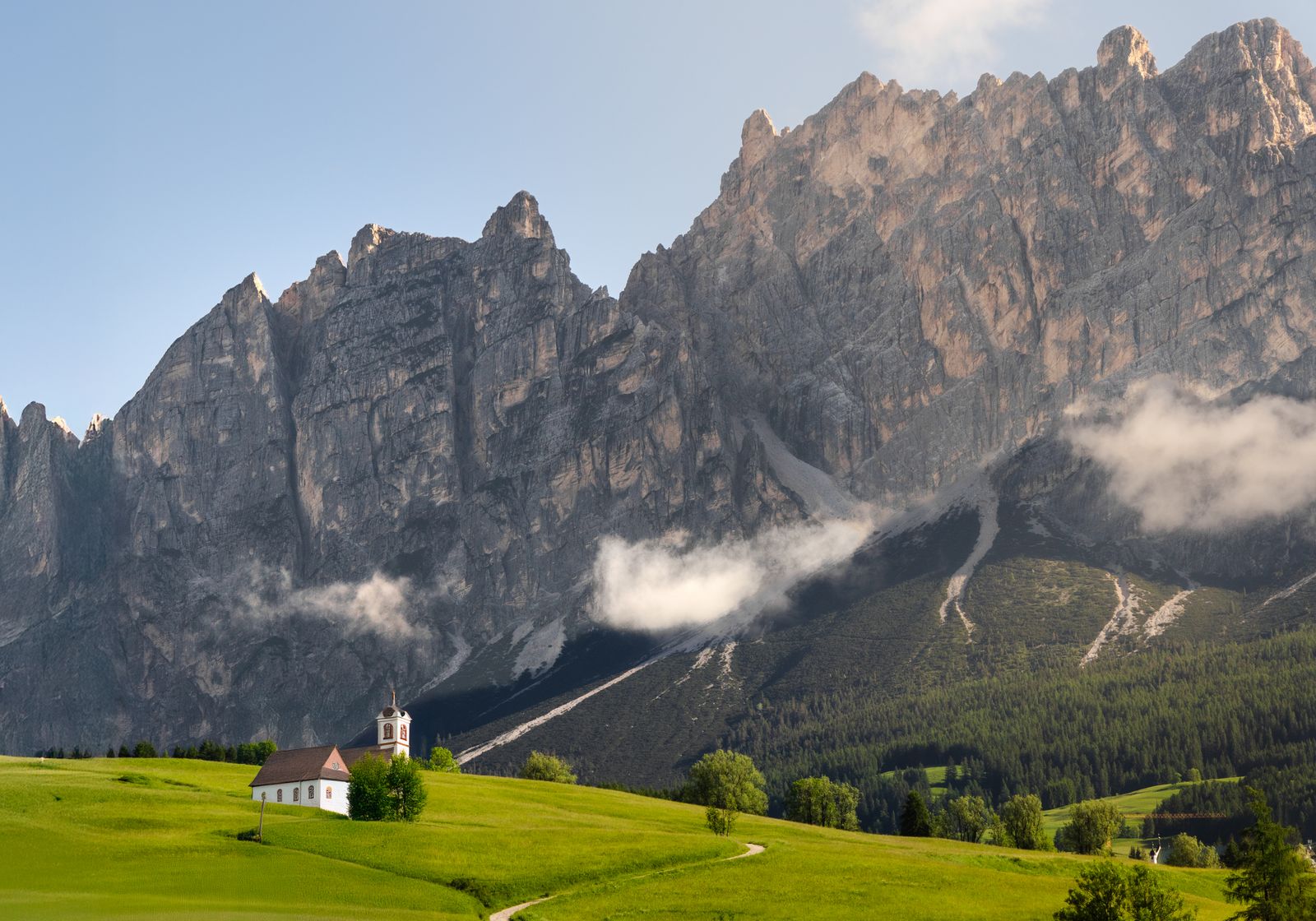
Short Answer: “The Dolomites” Is Too Broad for One Yes or No
The Dolomites cross provinces, municipalities and multiple protected areas. Italy's official D-Flight map determines the aviation layer at the exact coordinates. In South Tyrol's nature parks, remotely controlled aircraft including drones are generally prohibited, with narrow exceptions tied to park administration, public interest, scientific research or technical surveys.
A valley meadow outside a protected boundary can produce a different answer from a famous lake, pass or ridge only a few kilometres away. Do not use “Dolomites allowed” as a flight rule.
D-Flight Is the Aviation Starting Point
ENAC publishes UAS geographical zones through D-Flight. Its current guidance explains that protected-park restrictions approved by ENAC appear on that platform, and warns that some park polygons are still being revised to align with the real protected boundaries.
This creates an important planning rule: a simple map polygon can cover land outside the physical park, while a park manager can still control the protected area. If a planned point sits in a D-Flight restriction associated with a park, ENAC says the competent park body is the authority for any clearance relating to that park restriction.
South Tyrol Nature Parks Say No Drones
The Autonomous Province of Bolzano's official code of conduct states that remote-controlled aircraft, including drones, are strictly prohibited in its nature parks. Listed exceptions are not a tourist permit: they concern work on behalf of or with the park administration, public-interest activity consistent with conservation, scientific research or technical surveys.
This affects many headline compositions. The provincial park network includes Puez-Odle, Fanes-Senes-Braies, Tre Cime and Sciliar-Catinaccio. UNESCO status alone is not the operative drone rule; the actual park, aviation and land layers are.
Outside a Park Does Not Mean Automatically Clear
An exact location outside a park still needs the D-Flight check, current notices, operator registration, required competency and insurance. Take-off and landing can be controlled by a landowner, municipality, cable-car operator, refuge or other site manager.
High terrain can break visual line of sight and makes the 120-metre closest-surface rule more demanding than a height above take-off display suggests. Expect paragliders, sailplanes and rescue helicopters. Land immediately for crewed aircraft and never fly near an active rescue.
What About a Drone Under 250 g?
A sub-250-gram aircraft does not bypass a D-Flight geographical zone or the nature-park prohibition. It also does not permit flight over assemblies, remove privacy duties or grant access to private land. A camera normally means operator registration is still required.
The Italy drone-law guide covers registration, insurance and the national framework.
A Better Dolomites Location Strategy
- Choose the visual subject—ridge, village, meadow or valley—before choosing a famous pin.
- Locate the exact provincial, municipal and protected-area boundaries.
- Draw the complete route in D-Flight and read every zone condition.
- Ask the landowner or manager about take-off, landing and filming.
- Check people, livestock, wildlife, cableways, paragliding and rescue traffic.
- Set conservative wind, cloud, battery and visual-line-of-sight limits.
Use the pre-flight checker to record the result. A ground panorama or long-lens view from an authorised trail remains the best alternative at protected landmarks.
Official Sources
- ENAC: UAS limitations, D-Flight and natural parks
- D-Flight: official Italian UAS geographical-zone platform
- South Tyrol nature parks: code of conduct and drone prohibition
- South Tyrol nature parks: authorisation services
Choose Coordinates, Not a Mountain-range Label
The Dolomites are not one operating area. Famous South Tyrol nature-park locations generally lead to a no for ordinary drone tourism; locations elsewhere require their own D-Flight, protection and access checks. A defensible exact pin outside sensitive areas is more valuable than another ambiguous “best Dolomites spots” list.
Rules change and vary by country. Check the national authority before you fly — every country page links straight to it.