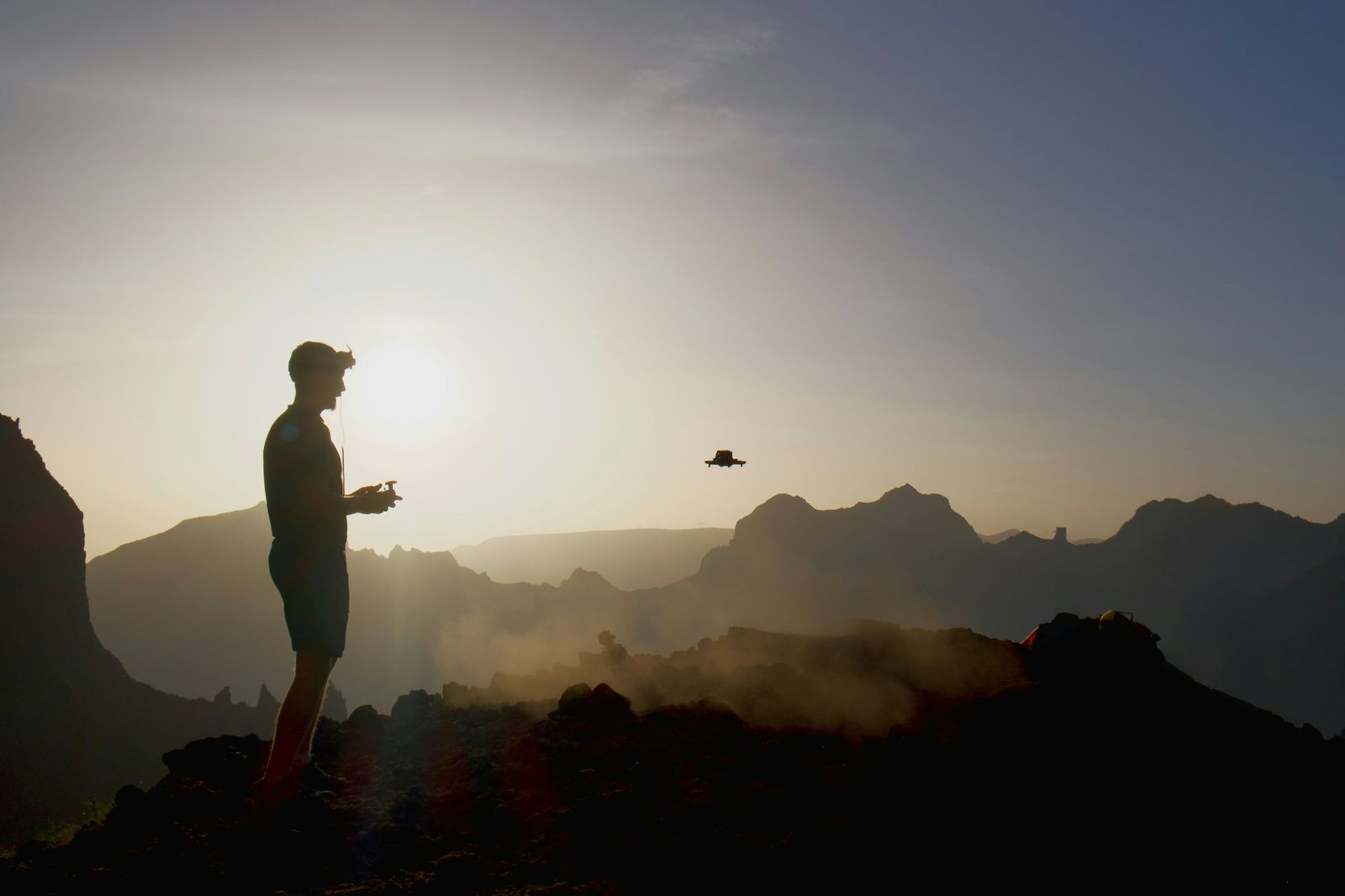
Introduction to European Landscape Drone Photography
Europe's extraordinary diversity of landscapes – from Mediterranean coastlines to Arctic tundras, from ancient cities to wild mountains – offers drone photographers unlimited creative opportunities. However, capturing truly compelling aerial images requires more than just flying high and pressing the shutter. This guide explores techniques and strategies to elevate your European landscape drone photography from snapshots to art.
Understanding Light in Different European Regions
Light is the foundation of all photography, and Europe's varied latitudes and climates create dramatically different lighting conditions that you can use to your advantage.
Mediterranean Light
The Mediterranean basin – Spain, southern France, Italy, Greece, and the islands – enjoys abundant sunshine but presents specific challenges:
Midday Challenges: The intense midday sun creates harsh shadows and bleaches colors. Avoid shooting between 11 AM and 4 PM in summer unless cloud cover softens the light.
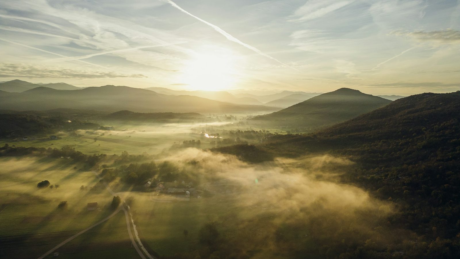
Golden Hour Magic: The lower sun angle creates warm, dimensional light that brings out texture in terracotta rooftops, ancient stone walls, and olive groves. The golden hour in Mediterranean latitudes is relatively short – about 45 minutes to an hour – so plan your flights precisely.
Blue Hour Benefits: After sunset, the deep blue sky creates stunning contrast with the warm artificial lights of villages and cities. This is the time to capture those iconic images of hillside towns glowing against twilight skies.
Northern European Light
Scandinavia, Scotland, and Iceland offer completely different lighting opportunities:
Extended Golden Hours: In summer, the low sun angle persists for hours, creating what photographers call "the long golden hour." You can shoot for 3-4 hours in quality light during midsummer.
Midnight Sun: Above the Arctic Circle in summer, the sun never fully sets. This creates extraordinary opportunities for photography at unusual hours when you'd typically be in bed.
Moody Conditions: Overcast skies, common in northern regions, create soft, even light that's ideal for capturing the textures of mountains, forests, and dramatic coastlines. Don't pack away your drone on cloudy days.
Aurora Opportunities: Winter aurora can create distinctive images, but darkness, cold, visual-line-of-sight requirements and local geographical zones still apply. A C-class aircraft operated at night must display the required flashing green light.
Continental Light
Central Europe – Germany, Austria, Switzerland, and neighboring countries – falls between these extremes:
Alpine Light: Mountain environments create complex lighting with dramatic shadow play across valleys and peaks. Side-lighting in early morning or late afternoon reveals terrain texture magnificently.
Valley Fog: Autumn and spring often bring temperature inversions that fill valleys with fog while peaks emerge into sunshine. These conditions create some of the most atmospheric aerial images possible.
Composition Strategies for Aerial Photography
The bird's-eye perspective changes everything about composition. Techniques that work on the ground need adaptation, while entirely new approaches become possible.
Leading Lines From Above
Leading lines remain powerful compositional tools, but look for different types from the air:
Rivers and Streams: Waterways create natural S-curves and leading lines through landscapes. Their reflective surfaces add visual interest and help guide the viewer's eye.
Roads and Paths: Human infrastructure creates strong graphic elements from above. Mountain switchbacks, coastal roads, and forest paths all provide compelling lines.
Field Patterns: Agricultural landscapes reveal geometric patterns invisible from ground level. Vineyard rows, lavender stripes, and crop circles create abstract compositions.
Coastlines: The meeting of land and sea creates natural leading lines. Look for coves, peninsulas, and beaches that draw the eye into the frame.
Patterns and Textures
Aerial perspectives reveal patterns that transform landscapes into near-abstract images:
Urban Patterns: Cities become geometric mosaics from above. Red-tiled rooftops of Mediterranean towns, the grid patterns of modern cities, and the organic curves of medieval street layouts all create compelling images.
Natural Patterns: Forest canopies, coral formations in clear water, rock striations, and geological formations all reveal their patterns best from above.
Agricultural Geometry: Farmland creates some of the most striking aerial patterns – golden wheat fields, purple lavender rows, the patchwork of mixed farming, and the striking circles of center-pivot irrigation.
Finding Foreground in the Sky
Traditional landscape photography uses foreground elements to create depth. This is challenging when you're hovering above everything. Try these alternatives:
Shoot at an Angle: Instead of pointing straight down, tilt your camera to include the horizon. This creates a sense of distance and allows foreground/background relationships.
Use Height Variation: Elements at different heights create natural layering – a mountaintop in the foreground, valleys below, distant peaks beyond.
Include Human Elements: Roads, buildings, or boats can serve as foreground anchors that give scale and depth to landscapes.
Technical Considerations for Quality Images
Capturing sharp, detailed images from a moving platform requires attention to several technical factors:
Shutter Speed and Motion
Even with sophisticated gimbals, drone movement can create subtle blur:
Minimum Shutter Speeds: In good light, aim for at least 1/500 second. In calmer conditions, you might get away with 1/250, but faster is better.
ND Filters: In bright conditions, you'll need neutral density filters to achieve appropriate shutter speeds without drastically stopping down the aperture (which can reduce sharpness due to diffraction on small sensors).
Hover Steadily: Before triggering the shutter, bring your drone to a stable hover. Small movements during exposure accumulate as blur.
Focus and Depth of Field
Drone cameras typically have fixed or limited focus capabilities:
Hyperfocal Distance: Most drone cameras are set to hyperfocal focus, keeping everything from a few meters to infinity reasonably sharp. Verify this in your camera settings.
Aperture Selection: While stopping down increases depth of field, small sensors suffer from diffraction at small apertures. f/5.6 to f/8 is typically the sweet spot for most drone cameras.
Image Formats
Shoot RAW: The flexibility of RAW files for adjusting exposure, white balance, and colors in post-processing is invaluable. Memory cards are cheap; re-flying to correct exposure errors is not.
Consider HDR: Many drones offer automatic HDR modes that bracket exposures. While these can be processed into single images with extended dynamic range, keeping the individual frames gives more editing flexibility.
Weather and Atmospheric Conditions
European weather variability creates opportunities for dramatic imagery:
Working with Clouds
Partial Cloud Cover: Clouds that allow sunspots to illuminate portions of the landscape create dramatic contrast and lead the eye to lit areas.
Low Clouds and Fog: When clouds or fog fill valleys while peaks emerge, you get ethereal, otherworldly images that capture the magic of mountain environments.
Dramatic Skies: Storm clouds, dramatic formations, and unusual atmospheric conditions add drama to landscapes. Include more sky in your frame when conditions are interesting.
Rain and Moisture
Post-Rain Conditions: The period just after rain offers crystal-clear air, saturated colors, and potentially rainbows. Wet surfaces reflect light beautifully.
Waterfalls and Rivers: After rain, waterfalls swell and rivers run fuller. These conditions add dynamism to your images.
Moisture Risks: Be aware that moisture can damage your drone. Many consumer drones are not waterproof. Light mist can condense on lenses and sensors.
Wind Considerations
Creative Use: Light wind creates movement in water surfaces, grasses, and trees that can add life to images. A very long exposure (using ND filters) can blur wave patterns into misty smoothness.
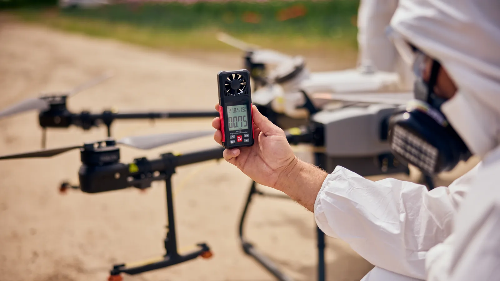
Practical Limits: Use the wind and gust limits for the exact aircraft and preserve enough performance for the return leg. Terrain and height can make conditions very different from those at the launch point.
Location-Specific Techniques
Different European landscape types call for different approaches:
Coastal Photography
Timing with Tides: Low tide reveals rock patterns, tidal pools, and beach textures that disappear at high water. High tide may be better for images of waves crashing against cliffs.
Wave Patterns: Long exposures (using ND filters) smooth wave action into misty patterns. Faster shutters freeze dramatic spray and foam.
Color Gradients: Clear water creates beautiful color gradients from shallow turquoise to deep blue. Shoot toward the sun for best color saturation.
Mountain Photography
Dawn Alpenglow: The first light striking snow-capped peaks creates pink and orange colors that last only minutes. Be airborne before sunrise.
Dramatic Shadows: Side-lighting emphasizes the three-dimensional form of mountains. Midday sun flattens the terrain; morning and evening light sculpts it.
Scale Elements: Mountains can look surprisingly flat from above. Include recognizable elements (buildings, trees, people) to convey scale.
Urban and Cultural Landscapes
Historic Patterns: Medieval cities often have organic patterns radiating from central churches or castles. Modern cities show grid patterns and geometric regularity.
Color Themes: Many European towns have characteristic color palettes – white villages in Andalusia, pastel buildings in Lisbon, red roofs in Prague. Look for viewpoints that emphasize these colors.
Activity and Life: People can add scale, but assemblies may never be overflown in the Open category and identifiable individuals create privacy obligations. Use controlled participants where appropriate or compose from a lawful distance rather than treating a busy square as visual texture.
Post-Processing for European Landscapes
The editing room is where good aerial captures become great images:
Color Treatment
Regional Color Palettes: Different regions have characteristic colors. Mediterranean scenes often benefit from warm treatment emphasizing terracotta and golden tones. Northern scenes may work better with cooler, more atmospheric processing.
Careful Saturation: Aerial views can already look intense due to the different color of atmosphere and reduced haze. Avoid over-saturating – aim for natural-looking richness.
Local Adjustments
Graduated Filters: Use graduated adjustments to balance bright skies with darker land, or to enhance light falloff across the frame.
Targeted Adjustments: Draw attention to your subject by selectively adjusting brightness, contrast, or saturation in specific areas.
Sharpening and Detail
Judicious Sharpening: Small sensors benefit from careful sharpening, but over-sharpening creates ugly halos and noise enhancement. Apply sharpening last after other adjustments.
Noise Reduction: In low light or high ISO situations, use noise reduction carefully. Modern AI-powered noise reduction tools can work wonders.
Conclusion
Legal and Location Check
Composition planning comes after the flight is shown to be lawful and suitable. Check the destination’s official UAS map, aircraft class and subcategory, people, site access, wildlife and privacy. A photographically ideal altitude or route does not override a zone or an assembly-of-people rule. Use the scenic-location research workflow before committing to a shot.
Official Sources
Strong aerial photography combines technical control with restraint. Pre-visualise the frame, fly the minimum route needed, protect people and wildlife, and be willing to return or work from the ground when the legal or environmental conditions do not align.
Rules change and vary by country. Check the national authority before you fly — every country page links straight to it.