A Scenic-location List Is Not a Permission List
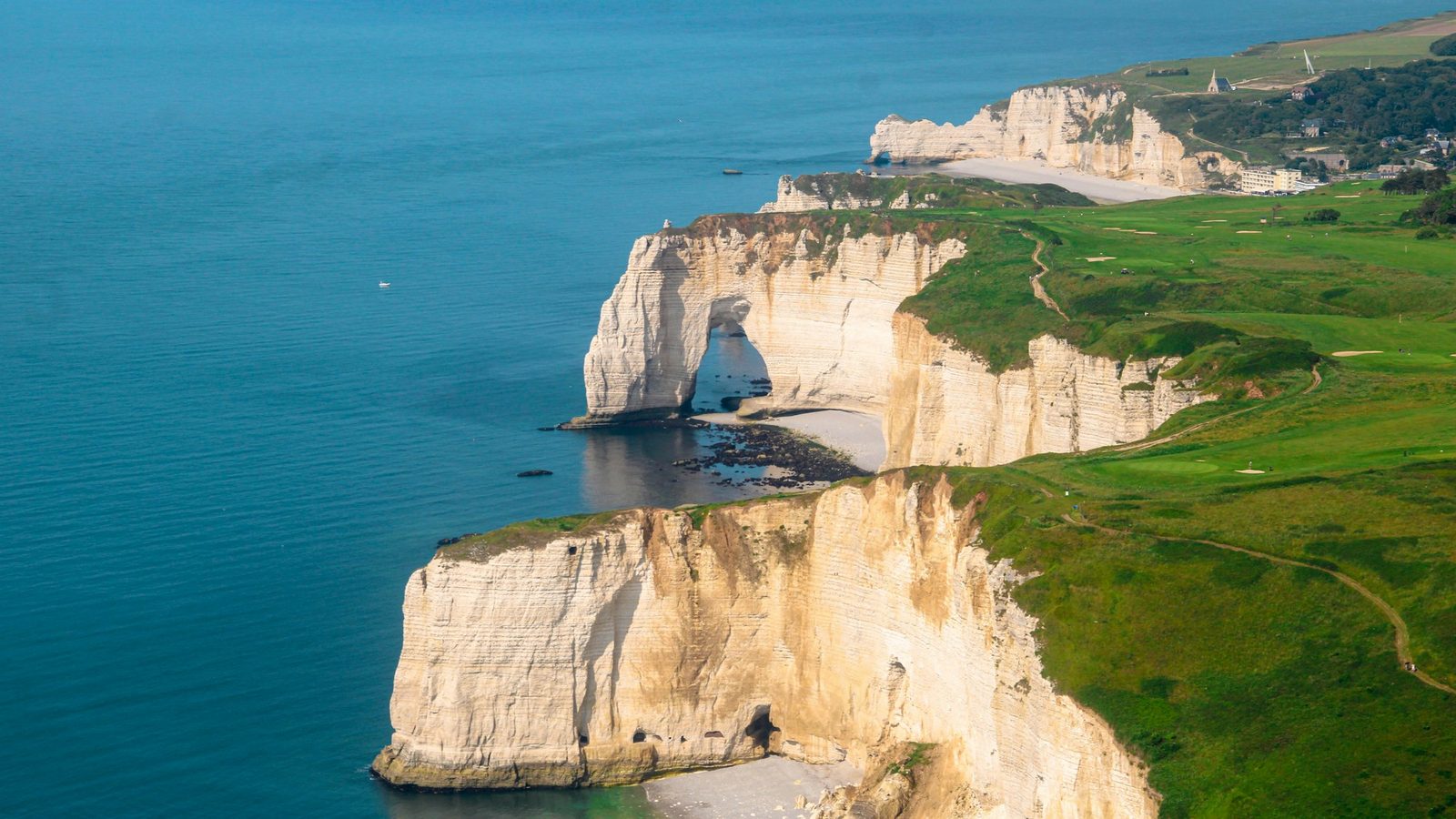
Europe offers mountains, islands, cliffs, lakes, villages and coastlines that look compelling from the air. But naming a beautiful location without verifying the current zone, site rules and people or wildlife conditions can encourage exactly the wrong decision. A photograph posted online proves only that an aircraft was there, not that the flight remains lawful or responsible.
This guide replaces a static “top ten” list with a method for researching scenic subjects. Use it to find a legally workable viewpoint rather than trying to force a flight at a famous pin on a map.
What Makes a Scenic Location Work
A strong location aligns five things:
- Legal airspace: the route complies with the official national UAS map and any authorisation.
- Suitable ground: take-off, landing and access are permitted.
- Manageable people: the aircraft class and subcategory fit the real visitor pattern.
- Protected nature: wildlife and environmental rules allow the operation.
- Controllable conditions: wind, terrain, visual line of sight and recovery are within conservative limits.
Light and composition matter only after those requirements are met. A less famous location with a clear route and quiet foreground often produces more original work than a restricted landmark.
Mountains, Fjords and Cliffs
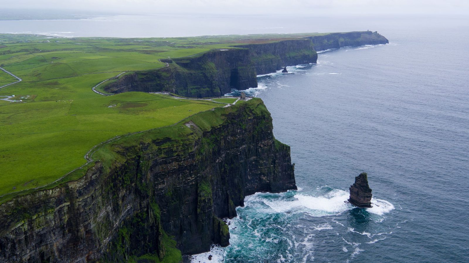
Natural elevation does not allow the aircraft to remain 120 metres above the launch point regardless of terrain. In the EU Open category, the general height is measured from the closest point of the surface. Maintain visual line of sight as slopes, ridges and valleys change the relationship between pilot, aircraft and ground.
Mountain wind, rotor, cloud, cold and GNSS or radio shadows can make a legal route unsafe. Check rescue-helicopter activity and do not fly near an emergency response. Popular summits and viewing platforms can become assemblies of people; arriving early may reduce visitors but does not override a zone or site rule.
Coasts, Islands and Lakes
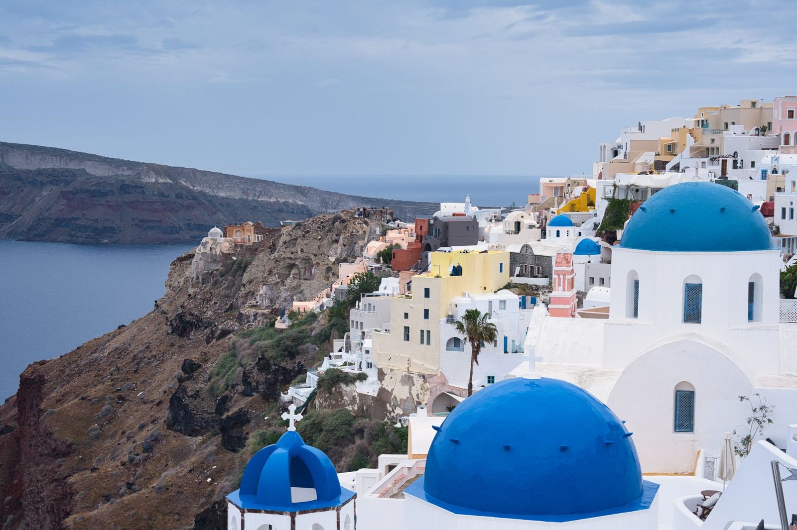
Islands and coastlines frequently contain small airports, heliports, ports, military areas and protected colonies. Plot the full route on the official map and check the nature authority. Water is not empty: boats, swimmers and rescue aircraft are moving participants in the operating area.
Plan the return leg for wind at height and retain a conservative battery margin. A launch from a cliff can add turbulence and lost-link shadows; it does not avoid restrictions over the beach or water below. See the European beach-flight guide for a coastal checklist.
Villages, Castles and Cultural Landscapes
Historic sites can combine residents, visitors, privacy, heritage management and security restrictions. A sub-250-gram drone offers some A1 flexibility but does not permit flight over an assembly, remove geographical zones or authorise recording into homes.
Check the monument or land manager as well as the aviation map. Consider a distant, elevated ground viewpoint or a rural foreground that places the skyline in context without flying above the centre. Do not assume that a smaller town is unrestricted.
National Parks and Protected Landscapes
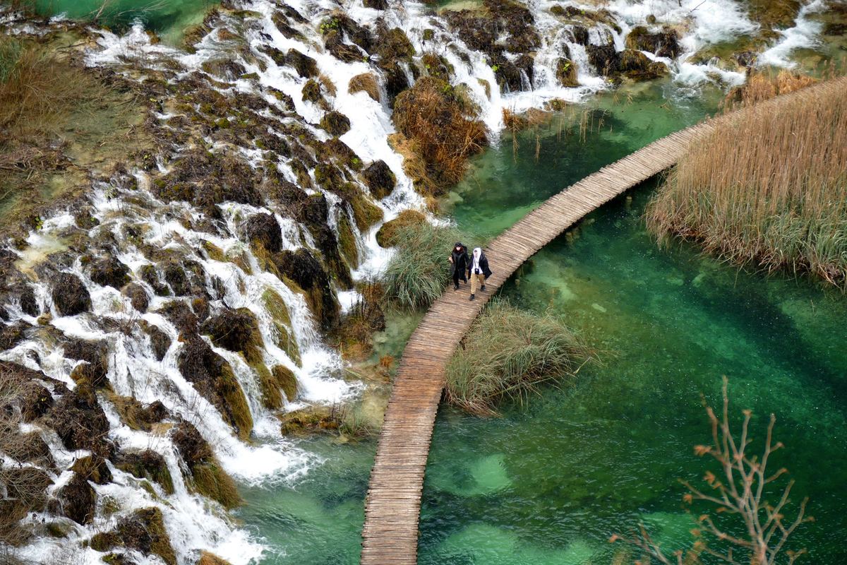
Protected landscapes need two separate checks: the national UAS geographical zone and the park or nature authority’s current rules. A park can control launch and filming even when the aviation map appears open, and a published environmental zone can restrict the aircraft regardless of where the pilot stands.
Launching outside a boundary is not a loophole for flying into it. Keep the aircraft outside restricted airspace and avoid approaching animals. Use the national-parks guide to build a permission request or a ground-based alternative.
Some famous sites give a direct answer. The organisation responsible for Preikestolen prohibits drone use there; our Preikestolen guide explains why a ground or fjord-based photograph is the responsible alternative.
Other destinations show why every layer must be checked separately. At the Cliffs of Moher, the main visitor site operates a No Drone Zone and the cliffs protect nesting seabirds. Madeira combines aviation, aerial-imagery and regional nature approvals. On Santorini, the official DAGR map, airport traffic, crowds and archaeological-site permissions can all affect the same composition.
The same principle produces four very different answers elsewhere: Mont-Saint-Michel sits in restricted area LF-R12; the Dolomites cross multiple provinces and nature parks; Lauterbrunnen combines a heliport, air sports and protected areas; and Serra de Tramuntana requires an environmental-authorisation check alongside ENAIRE.
For nature-led planning, compare the park boundary in the Soča Valley, exact-site waterfall rules in Iceland, the lower-impact selection method for Finnish Lakeland, and the dipul-plus-nature workflow for the Bavarian Alps. The subject may look similar; the controlling evidence is not.
Research Workflow
- Choose the subject, not the launch pin. Decide what visual relationship you want to show.
- Identify exact coordinates and boundaries. Include the likely route and recovery area.
- Open the official national UAS map. Read every overlapping polygon and validity period.
- Check site management. Find park, municipality, heritage, port or landowner conditions.
- Assess people and privacy. Match the aircraft class and camera plan to the actual environment.
- Check wildlife and seasonal notices. Do not use a generic “best month” in place of current rules.
- Model weather and terrain. Set wind, visibility, battery and stop limits.
- Create a ground option. A panorama, time-lapse or licensed aerial can preserve the project when flight is unavailable.
Plan the Image Before Take-off
Use maps and ground scouting to pre-visualise the frame. Decide the minimum height and distance needed, where the sun will fall, which direction keeps unrelated people and homes out of view, and how the aircraft can return without crossing a hazard. A short, deliberate flight reduces noise, battery exposure and unnecessary recording.
Wide establishing shots often need less proximity than a dramatic reveal. Long lenses or cropping from a lawful distant position may create a stronger layered landscape while keeping the aircraft away from a sensitive site.
Claims That Should Trigger a Recheck
- “Drones are generally allowed outside summer.”
- “Launch outside the park and you can film inside.”
- “The manufacturer app shows green, so it is legal.”
- “A sub-250 g drone can fly anywhere.”
- “Early morning means there are no people rules.”
- “Other creators filmed it, so permission is not required.”
Each statement removes a relevant layer of the real check. Replace it with current official evidence for the exact operation.
Share Images Without Creating a Bad Map
When publishing, distinguish a photographic subject from a recommended launch site. Avoid precise coordinates for sensitive wildlife, private access or fragile ground. If the flight used permission, say so rather than implying open access. Remove location metadata when disclosure could create risk, and minimise identifiable people before publishing.
Official Sources
- EASA: National Aviation Authorities and official maps
- EASA: Open-category rules
- EASA: geographical-zone planning
Conclusion
The best scenic drone location is not the most famous place; it is the place where the image, legal route, ground access, people, wildlife and conditions genuinely fit. Research exact locations through official sources, fly only the minimum needed and carry a ground-based plan. That approach produces safer work and a guide that does not become obsolete with the next zone update.
Rules change and vary by country. Check the national authority before you fly — every country page links straight to it.