Short Answer: Do Not Fly at Preikestolen
No. The organisation responsible for Preikestolen states that drone use is prohibited at the site. Its visitor map describes the landmark as a de facto no-drone zone because flight above the fjord or crowds is not allowed, and asks visitors to protect helicopter safety, privacy and the nature experience of other hikers.
This is more specific than a generic green area in a manufacturer app. It is current site guidance from the land manager, and it applies alongside Norwegian aviation, nature, privacy and sensor rules. A light drone, an early start or launching a little farther down the trail does not turn the landmark into a recommended flight location.
Why the Answer Is No
Preikestolen concentrates several problems in one small operating area:
- Explicit site guidance: Preikestolen 365 answers “No” when asked whether drones are allowed.
- Uninvolved people: the plateau and trail attract large numbers of visitors. Open-category flexibility below 250 grams never permits flight over an assembly of people.
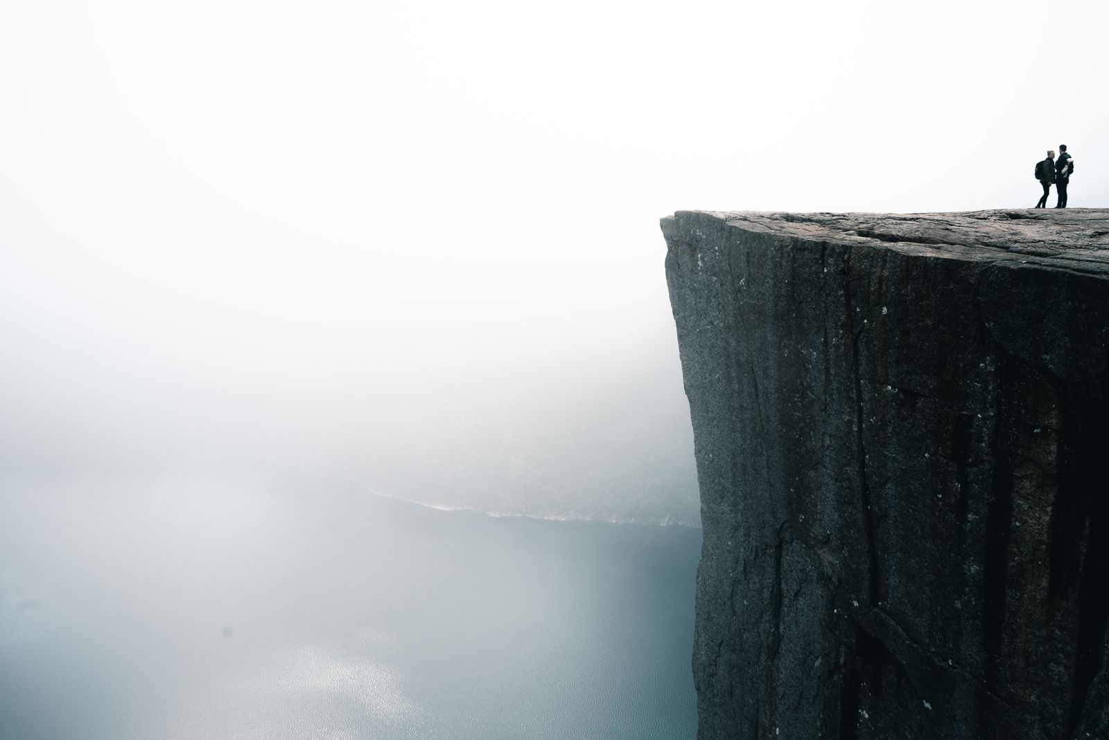
- Exposure: the cliff drops about 604 metres to Lysefjorden. Strong wind, turbulence, low cloud and terrain can compromise visual line of sight and recovery.
- Crewed aircraft: ambulance and rescue helicopters operate in the area. A drone must give way immediately, and an emergency can create a temporary restriction without warning.
- Privacy and disturbance: hovering around a crowded viewpoint records people who did not choose to participate and degrades the experience the site manager is trying to protect.
The conclusion does not depend on proving that one permanent airspace polygon covers the rock. Multiple layers can control the same operation, and the clear site rule is enough to choose a ground-based plan.
What About a Drone Under 250 g?
A C0 or legacy sub-250-gram drone can have fewer separation and competency requirements in A1, but it is not exempt from geographical zones, assemblies-of-people rules, privacy, nature protection, land-manager instructions or the obligation to avoid crewed aircraft. “Under 250 g” is therefore not permission to fly at Preikestolen.
If a camera is fitted, operator registration is normally still required. Visitors using an operator registration from another EASA member state generally keep that registration in Norway; other visitors follow the Norwegian authority's registration route. Insurance is exempt for an under-250-gram Open-category drone, but that exemption changes paperwork—not the site decision.
Can You Launch Outside the Site and Fly In?
No responsible plan should treat a different launch point as a loophole. Moving the pilot does not remove the site's instruction, the people on the plateau, the flight path across the fjord, privacy concerns or helicopter risk. It can also make direct visual line of sight worse as terrain masks the aircraft.
The Civil Aviation Authority of Norway separately says pilots need landowner permission for take-off and landing. That property question is an additional check; it does not override restrictions affecting the air route or destination.
Helicopters and Temporary Restrictions
Preikestolen's own material specifically mentions ambulance helicopters. A 2026 public consultation also documented plans for a private helicopter landing site at Preikestolen Base Camp for rescue, police and air-ambulance use. Consultation documents are not themselves proof of a permanent operating schedule, but they reinforce the need to expect crewed-aircraft activity in this terrain.
Never rely on hearing a helicopter in time. Before any Norwegian flight, check the official UAS geographical-zone map and current NOTAM. Stay clear of an emergency operation and land immediately when necessary. NinoxDrone2 is used for airport-clearance requests at supported airports; Avinor warns that it is not a complete display of Norwegian prohibition and restriction areas.
Better Ways to Get the Shot
Photograph from the hiking trail
The approach provides changing foregrounds, views into Lysefjorden and the classic cliff profile without an aircraft. Use a wide lens for scale and a longer focal length to isolate hikers only when you can do so respectfully. Keep a safe distance from the edge and never ask someone to move into a dangerous position for a picture.
See the cliff from the fjord
A passenger boat or fjord cruise gives a completely different view of the rock face. This is a ground- or vessel-based photography plan, not a suggestion to launch a drone from a boat. Check the operator's conditions and keep equipment secured.
License aerial material
If an editorial or commercial project genuinely needs an aerial establishing shot, license footage whose operator can document when and under which permission or operating conditions it was made. A clip online is not evidence that repeating the flight is allowed.
Choose another verified subject
Norway has quieter mountain and coastal subjects, but “less famous” does not mean automatically legal. The Trolltunga and Litltind guide demonstrates how to check exact coordinates, airspace, protected nature, people and weather before committing to a route.
Norway Pre-flight Workflow
- Confirm operator registration, competency, aircraft class and insurance through the Norway drone-law guide.
- Plot the launch point and complete route in the official UAS geographical-zone map.
- Check current NOTAM through the official aeronautical source.
- Check the Norwegian Environment Agency's map and the individual protection regulation.
- Check the National Security Authority's airborne-sensor map and registration requirement.
- Obtain landowner or land-manager agreement for take-off and landing.
- Reassess people, wildlife, visibility, wind and crewed-aircraft activity at the site.
For Preikestolen, that workflow ends at the first step that matters locally: the site manager says drone use is prohibited. The remaining checks are still the correct workflow for a different Norwegian location.
Official Sources
- Preikestolen 365: visitor FAQ and drone prohibition
- Preikestolen 365: official visitor map and no-drone guidance
- Civil Aviation Authority of Norway: visiting Norway
- Civil Aviation Authority of Norway: no-drone zones and landowner permission
- Civil Aviation Authority of Norway: 2026 Preikestolen heliport consultation
- Avinor: airport procedures and NinoxDrone2
The Useful Answer Is Still No
A guide does not add value by manufacturing a way to fly at every famous landmark. At Preikestolen, the documented, practical answer is to keep the drone grounded. You can still make strong photographs from the trail or fjord—and save the aircraft for a location where the site rules, airspace, people, nature and conditions genuinely align.
Rules change and vary by country. Check the national authority before you fly — every country page links straight to it.