Introduction: A Beach Is Not One Legal Zone
There is no Europe-wide rule that makes every beach open or closed to drones. A single stretch of coast can involve aviation geographical zones, Open-category limits around people, municipal or land-manager conditions, protected wildlife, port or heliport traffic and privacy law. Tide, season and the number of visitors can change whether the same plan is workable from one hour to the next.
The correct method is to check the exact beach and intended route, not a general claim about “Spanish beaches” or “the Croatian coast”. This guide explains the layers and the decisions a pilot must make before taking an aircraft onto the sand.
Why Coastal Flights Need Extra Planning
People and assemblies
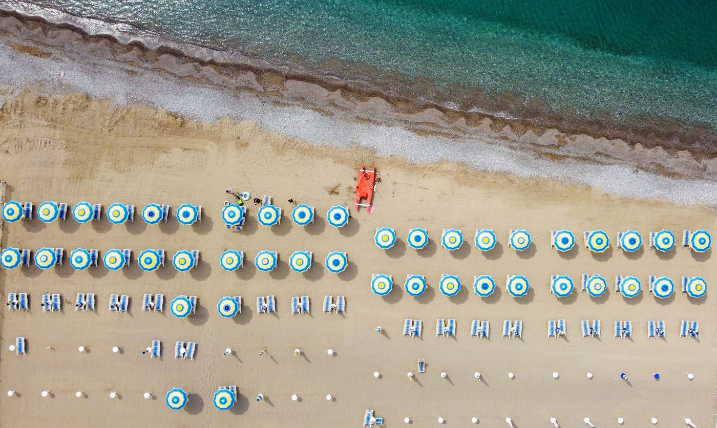
A beach may look like open terrain while functioning as a dense recreational area. The Open category never permits flight over an assembly of people, regardless of drone weight. An assembly is not defined by a fixed head count; the key issue is whether people can move away because of their density. A busy bathing area, organised event or packed promenade can meet that test.
Rules for individual uninvolved people depend on the aircraft class and subcategory. A C0 drone has greater flexibility in A1, but intentional overflight should still be avoided where reasonably possible and overflight of an assembly remains prohibited. C1, C2 and heavier or legacy aircraft have different distance and subcategory conditions. A3 also requires the operation to remain at least 150 metres horizontally from residential, commercial, industrial or recreational areas, which makes an occupied or managed beach unsuitable for an A3 plan.
Airspace and emergency traffic
Coasts often contain airports, heliports, ports, military areas, rescue routes and critical infrastructure. The official national UAS map may show a permanent or temporary zone with a height limit, notification requirement or prior authorisation. Emergency helicopters and lifeboat activity can also arise without warning. Do not fly close to or inside an active emergency response area without permission from the responsible service.
Wildlife and protected habitat
Dunes, cliffs, mudflats, islands and estuaries may be breeding, resting or feeding habitat. The aviation map can include an environmental zone, but the nature authority may publish additional access or seasonal rules. Do not approach nesting birds, seal haul-outs or other animals for footage. If wildlife reacts, increase distance and end the recording.
Replace Country Lists with an Exact-location Check
Country-by-country beach summaries age badly because the decisive rule is often municipal, seasonal or tied to a small polygon. Islands can have dense networks of aerodromes and heliports; resort beaches may have bathing-season management; a remote-looking cove may form part of a reserve; and a harbour wall may sit inside a port-security zone.
For each destination, record:
- the exact coordinates and entire intended route;
- all overlapping conditions on the official national UAS map;
- the beach or land manager and rules for take-off and landing;
- protected-area boundaries and current wildlife notices;
- nearby aerodromes, heliports, ports and emergency facilities;
- the expected number and movement of uninvolved people;
- whether identifiable people or private spaces will be recorded.
EASA’s National Aviation Authorities directory links to the official country source. Our country guides identify the relevant authority and map, but always open the live map before the flight.
Season and Time Do Not Override the Rules
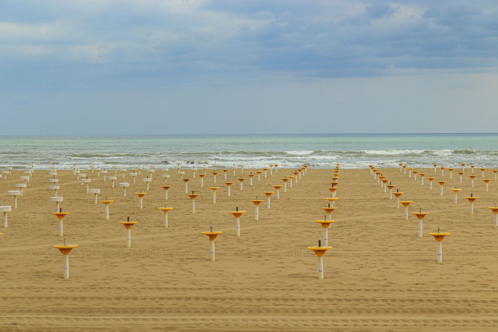
Off-season and early-morning visits can reduce crowd density, but they do not cancel a geographical zone, wildlife closure, municipal condition or land-access restriction. Conversely, there is no universal European “June to September” drone ban. Use the dates published for that beach or protected area.
Season can change the risk in opposite directions. Summer brings swimmers, events, boats and rescue operations. Spring may bring nesting birds. Winter can bring migratory or resting wildlife, stronger wind and fewer daylight hours. Reassess the plan on arrival instead of assuming an empty car park means an empty operating area.
A Defensible Beach-flight Workflow
- Classify the aircraft and operation. Know the class mark, mass and Open subcategory.
- Check the official map. Read the detailed conditions and validity of every polygon.
- Check the place. Confirm beach, dune, reserve, port and launch-site rules.
- Check people. Define a route that does not depend on strangers staying still or moving away for you.
- Check wildlife. Look for closures and observe the site before powering up.
- Check weather and recovery. Allow for wind at height, salt, glare and a reduced return margin.
- Keep a no-launch option. Conditions on a public beach can change too quickly for the original plan.
Launching from a cliff or adjacent land
Moving the pilot away from the beach does not remove restrictions along the aircraft’s route. You still need permission to use the launch site, visual line of sight, compliant distance from people and full compliance with any zone over the water or beach. Cliffs also introduce turbulence, loss-of-link shadows and difficult recovery. Treat an elevated launch as a different risk assessment, not a shortcut.
Water is not empty space
Swimmers, paddleboards and boats carry uninvolved people. Search-and-rescue aircraft can operate low and fast. Plan a route and contingency area that account for moving traffic, and land well before an approaching aircraft or emergency operation becomes a conflict.
Privacy and Publication
Beach footage can be particularly intrusive because it may record children, people in swimwear and individuals who cannot easily identify the operator. Avoid targeted filming, zooming or hovering above people. Frame the landscape, minimise identifiable detail, stop recording when unrelated people enter the subject area, and review footage before publication.
Where data-protection law applies, decide the purpose and lawful basis, provide privacy information where required, retain only necessary material and secure the files. See our European drone privacy guide for the complete workflow.
Equipment and Coastal Conditions
Use a stable launch surface or landing pad rather than loose sand. Follow the manufacturer’s cleaning guidance; do not force sand deeper into motors or openings. Salt water is conductive and corrosive, so an aircraft exposed to spray or immersion should not simply be powered up again for a test.
Coastal wind can differ sharply between the launch point and the flight path. Check gusts and direction at relevant heights, plan the outbound leg so sufficient battery remains for the return, and set a more conservative reserve than on a calm inland flight. Sun glare can make attitude and visual-line-of-sight monitoring harder even when the live camera view looks clear.
Official Sources
- EASA: drones in the Open category
- EASA: checking geographical zones
- EASA: National Aviation Authorities and official country maps
- EUR-Lex: Regulation (EU) 2019/947
Conclusion
A beach is suitable only when the aircraft, people, official zone, site rules, wildlife, privacy and real conditions all align. Quieter timing can help, but it is never permission by itself. Check the exact location, keep the route conservative and be willing to return with ground-level photographs when the beach changes around you.
Rules change and vary by country. Check the national authority before you fly — every country page links straight to it.