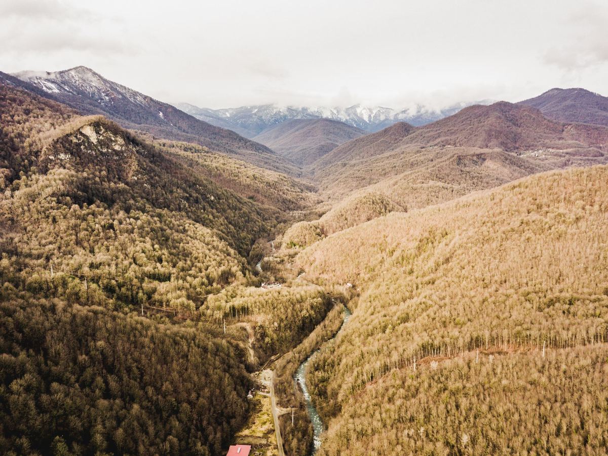
Introduction: Drones and Protected Nature
There is no single European rule saying that every national park is a no-fly zone, and there is no reliable list of parks where a recreational flight is always allowed. A protected landscape may be covered by a national UAS geographical zone, rules made by the park or nature authority, wildlife-protection law, restrictions on take-off and landing, or several of these at once. Conditions may also change with the season, a fire risk or a breeding colony.
The useful question is therefore not simply “Are drones banned in national parks?” It is: which authorities control the airspace, the protected site and the proposed activity on the date of my flight? This guide shows how to answer that question without relying on an old travel blog or the colour displayed in a manufacturer app.
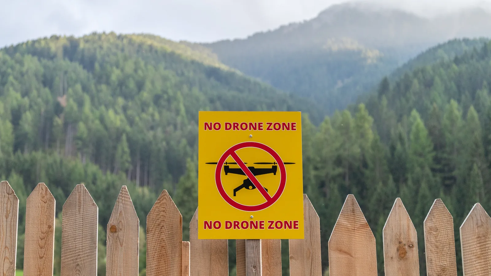
Why National Parks Restrict Drones
EU Regulation 2019/947 allows Member States to establish UAS geographical zones for safety, security, privacy or environmental reasons. A zone can prohibit operations, require prior flight authorisation, impose operating conditions, admit only certain drone classes or require technical features such as remote identification. National parks and nature reserves are among the places for which such zones may be created.
Aviation zoning is only one layer. A park authority can also control activities on its land, protect nesting or resting animals, regulate commercial filming and close areas temporarily. A green or unmarked area on an aviation map is therefore not proof that the launch site is available or that disturbing wildlife is lawful.
Wildlife and visitor impact
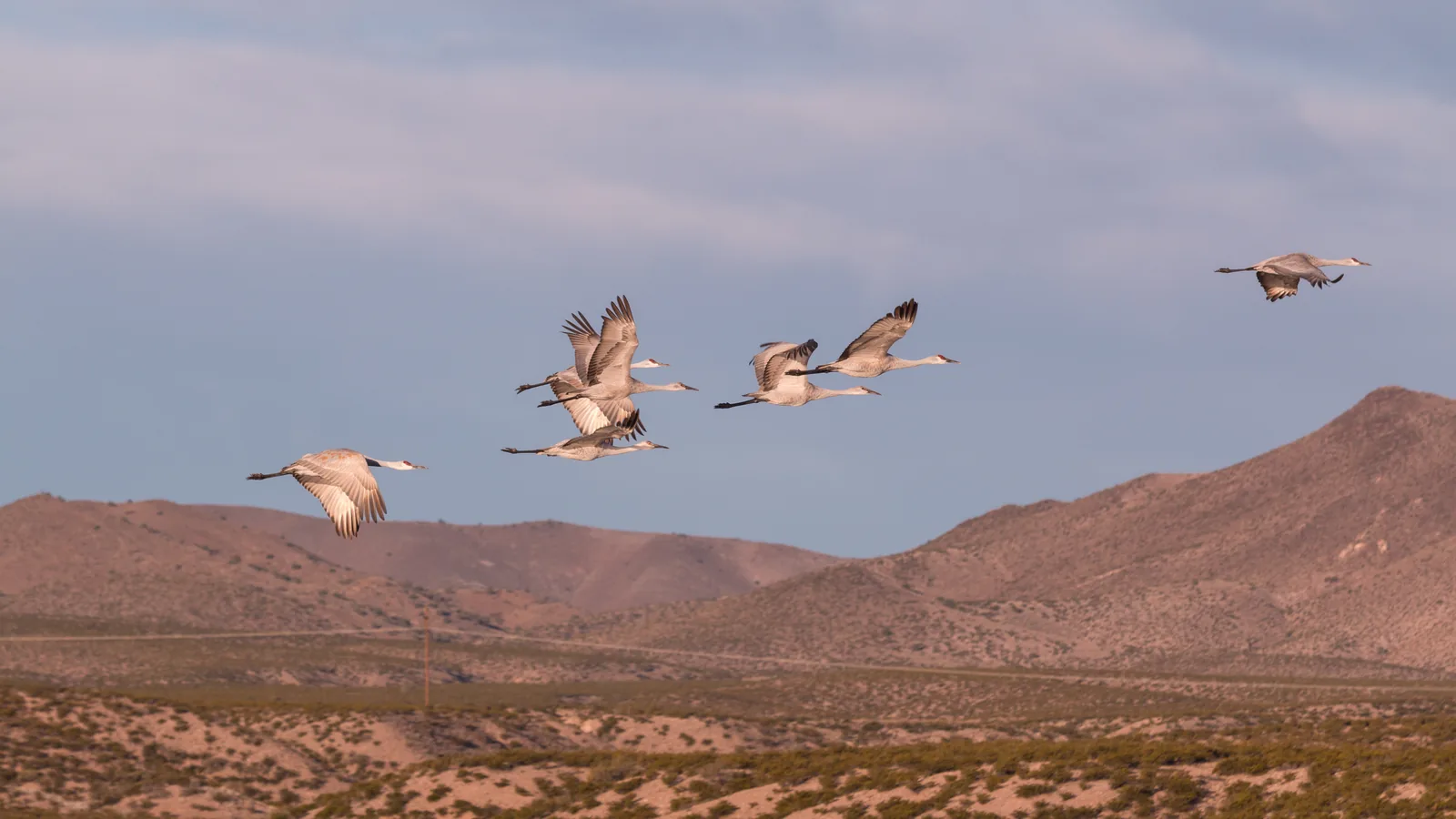
Aircraft noise and movement can alter animal behaviour even when the pilot remains outside a marked boundary. The effect depends on species, distance, season and terrain; it should not be reduced to a universal “safe height”. If birds alarm, circle, dive at the aircraft or leave a nest, or if an animal changes direction or flees, end the approach and increase distance. Never use a drone to chase, follow or obtain a closer view of wildlife.
Quiet also forms part of the visitor experience. A flight that is technically possible may still be inappropriate beside a viewpoint, trail, campsite or memorial. Short flights from a robust surface, away from other visitors, are less intrusive than repeated launches and long hovering sessions.
What a Park-by-Park Check Must Establish
A trustworthy park check records the exact protected area, not merely the country. Parks with similar names can have a core zone, buffer zone, marine section and adjoining reserve under different managers. Establish all of the following before travelling:
- the official park boundary and the authority that manages it;
- the official national UAS map and any conditions attached to the polygon;
- whether take-off, landing, filming or commercial activity needs separate consent;
- wildlife closures, seasonal dates and minimum-distance instructions;
- nearby aerodromes, heliports, emergency routes or military areas;
- whether the approval covers only the site or also grants the required flight authorisation.
Do not infer permission from the absence of a “no drones” page. Equally, do not treat every protected area as permanently prohibited. The official map and park authority should provide the answer for the exact location and date.
A verified example: Swiss National Park
The Swiss National Park’s current visitor rules expressly prohibit the use of drones. That is a clear site rule and is more useful than a broad claim about all Swiss protected landscapes. Other European parks use different models, including published zones, seasonal closures or case-by-case permission. This is why this guide no longer labels whole countries as “strict”, “moderate” or “accessible”.
How to Request Permission
If the official sources indicate that permission may be available, contact the body named by the map or park website. A concise application is easier to assess than a general request to “fly somewhere in the park”. Include:
- exact coordinates, route, maximum height, date, time and contingency date;
- aircraft model, class mark, mass and operator registration number;
- the Open-category subcategory or the operational authorisation you will use;
- purpose, intended audience and whether the work is commercial;
- how people, wildlife, noise and sensitive ground will be protected;
- insurance and competency evidence if requested;
- the proposed launch and recovery points.
Ask the authority to state exactly what its reply covers. Park consent does not automatically remove an aviation restriction, and an aviation flight authorisation does not automatically grant access to park land. Keep the written approvals available during the operation and follow any narrower time, altitude or route conditions.
Alternatives When a Flight Is Not Available
Launching outside a park is not a loophole for flying into it. The aircraft’s route, not only the pilot’s position, must remain outside any excluded or restricted geographical zone, within visual line of sight and within all applicable Open-category limits. Landowner permission at the launch point cannot override an airspace or environmental restriction.
Legal alternatives include photographing the wider landscape from a genuinely unrestricted area, using an elevated public viewpoint, licensing existing aerial footage from an authorised operator, or using panoramas and time-lapse sequences from the ground. These options often produce better work than a hurried flight made under uncertain conditions.
A Responsible Pre-flight Method
- Identify the exact boundary. Use the park’s own map, including core, buffer and marine zones.
- Open the official national UAS map. Read the details inside every overlapping polygon, not only its colour.
- Check current notices. Look for temporary zones, emergency activity, fire restrictions and seasonal wildlife closures.
- Confirm the launch site. Establish who controls the land and whether park rules apply there.
- Assess people and wildlife. A quiet location on a map can still be unsuitable on arrival.
- Keep a fallback plan. Be prepared to use a ground camera and not launch.
On site, stop if the conditions differ from the plan. Do not launch near emergency work, crowds or animals that are reacting to the aircraft. Recover every part after a crash only when doing so is safe and permitted; report inaccessible debris to the park authority.
Where to Find the Current Rule
EASA’s National Aviation Authorities directory links to the official UAS information and geographical-zone source for each EASA Member State. Start there, then follow the park authority’s own rules. Manufacturer geofencing and crowd-sourced maps can provide warnings, but they are not substitutes for the national publication.
For destinations outside the EASA system, including the United Kingdom and several Balkan states, use the destination’s civil aviation authority and the protected-area manager. Our country guides provide the relevant authority and map links, but the official live map remains the final planning source.
Official Sources
- EASA: geographical zones and flight authorisations
- EASA: National Aviation Authorities and official country maps
- EUR-Lex: Regulation (EU) 2019/947, Article 15
- Swiss National Park: protection regulations
Conclusion
National-park access is a location-and-date question, not a reusable country label. Check the official UAS zone, the park’s site rules, wildlife restrictions and the launch point independently. If any layer remains unclear, ask the responsible authority or keep the aircraft grounded. A defensible plan protects both the landscape and your ability to fly elsewhere.
Rules change and vary by country. Check the national authority before you fly — every country page links straight to it.