Short Answer: Possible Only After an Exact, Conservative Check
Lauterbrunnen is not covered by one simple valley-wide answer. Switzerland's FOCA requires the interactive drone map and Daily Airspace Bulletin to be checked before every flight. The valley contains Lauterbrunnen heliport, intense helicopter and air-sport activity, cableways, villages, visitors and protected areas with their own restrictions.
A point that appears outside a prohibition can still be a poor place to fly. The combination of vertical terrain, waterfalls, paragliders, base jumpers and helicopter traffic demands a more conservative decision than the map alone.
FOCA Map and DABS Are Both Required
FOCA says its interactive drone map changes continuously and must be consulted before each flight. Clicking a restriction shows the competent authority and applicable condition. FOCA also requires pilots to consult the Daily Airspace Bulletin, which is updated several times a day and displays important NOTAM information.
These are complementary checks: the map covers national and cantonal geographical restrictions; DABS captures dynamic airspace information. Neither grants land access or removes the Open-category operating rules.
Lauterbrunnen Has a Published Heliport
FOCA lists Lauterbrunnen heliport as LSXL. Its general drone guidance separately identifies heliports, mountain landing sites, paragliding, hang-gliding and gliding areas as places with heightened collision risk. If a helicopter approaches, FOCA instructs the drone pilot to land.
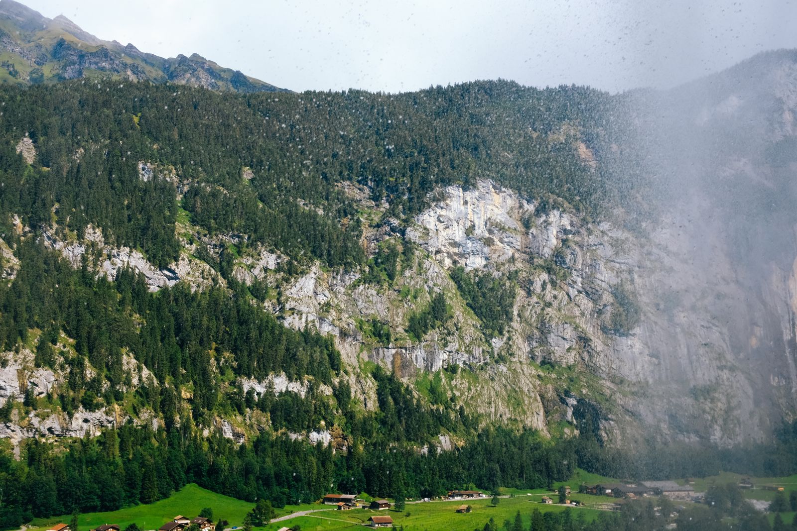
The valley's rock walls restrict sight and escape options. Aircraft noise can arrive late or echo from an uncertain direction. Do not rely on hearing traffic, and do not launch where terrain prevents continuous visual line of sight.
Protected Areas Need Their Own Boundary Check
Wildlife protection areas can appear as restrictions in the FOCA map. Canton Bern also publishes site-specific nature rules. For example, the Wengernalp nature reserve in the municipality of Lauterbrunnen prohibits take-off and landing by aircraft of all kinds, including model aircraft.
That rule does not prove that every meadow in the municipality is identical. It demonstrates why “Lauterbrunnen” is not a sufficient location description. Check the actual boundary and the authority named for that point.
People, Property and Infrastructure
The valley floor includes homes, hotels, roads, railways, farms and crowded viewpoints. Avoid uninvolved people and never fly over an assembly. A C0 or legacy sub-250-gram drone has more A1 flexibility, but it does not remove zones, privacy, property access or the duty to yield to crewed aircraft.
Landowner permission for take-off and landing is not established by an open airspace map. If ownership or site-management permission is unclear, choose a ground photograph rather than treating uncertainty as consent.
Better Ways to Photograph the Valley
Public walking routes and rail or cableway viewpoints provide height without an aircraft. A longer lens can compress waterfalls against the valley walls, while changing weather produces depth and scale. Follow the transport operator's property and equipment rules.
If you seek a flight elsewhere in the region, choose a quiet exact pin away from heliports, mountain landing sites, air-sport corridors, settlements and protected areas. Recheck it on the day; yesterday's map screenshot is not operational evidence.
Lauterbrunnen Planning Workflow
- Confirm Swiss registration recognition, aircraft class and competency in the Switzerland guide.
- Draw the full route in the FOCA interactive drone map.
- Check DABS immediately before the planned operation.
- Review heliports, mountain landing sites and air-sport areas.
- Check cantonal nature-reserve boundaries and local site rules.
- Confirm take-off and landing access with the responsible owner or manager.
- Stop for people, wind, cloud, poor VLOS or any crewed aircraft.
The pre-flight checker can save these decision points, but only the official live sources show current restrictions.
Official Sources
- FOCA: geographical flight restrictions, drone map and DABS
- FOCA: Open-category flight rules
- FOCA: Lauterbrunnen heliport LSXL
- Canton Bern: Wengernalp nature-reserve rules
The Map Is Necessary, but the Valley Demands More
Lauterbrunnen is a place where legal-looking airspace can still produce an unsafe operation. Use exact coordinates, both FOCA sources, the heliport and air-sport layers, nature boundaries and confirmed ground access. When the valley is active—and it often is—a ground viewpoint is the stronger plan.
Rules change and vary by country. Check the national authority before you fly — every country page links straight to it.