Short Answer: Nature-authority Approval Is a Core Requirement
Do not treat Serra de Tramuntana as open mountain airspace. The Balearic Islands Government's official protected-area guidance lists flying drones and similar devices among activities requiring authorisation from the nature-area administration. Spain's separate aviation layer must be checked in ENAIRE Drones for the exact route.
This means an operator can need both a workable UAS geographical-zone result and permission connected to the protected natural area. A clear aviation map does not replace environmental approval.
The Protected Area Lists Drones Explicitly
The regional environment authority's visitor guidance says drone-type aircraft and similar devices require authorisation. It directs requests to the protected-area management office or its online services. The same document explains that the area overlaps other protection layers, including Natura 2000 sites, bird-protection areas, protected oak forests and specially protected land.
An authorisation request should identify exact coordinates, route, date, aircraft, purpose and measures for wildlife and visitors. A submitted request is not permission until it is approved.
ENAIRE Drones Covers the Aviation Layer
AESA directs pilots to ENAIRE Drones to see UAS geographical zones, prohibitions, restrictions, danger areas and alerts. Configure the proposed altitude and whether the flight is photographic, then draw the full route. ENAIRE explains that aeronautical information follows the AIRAC cycle and that NOTAM information is dynamic.
Mallorca also contains Palma airport, restricted-use aerodromes, heliports, urban areas and protected infrastructure. Do not generalise from one mountain viewpoint to the whole island.
Popular Roads and Viewpoints Add Practical Problems
Miradors, mountain roads, villages and trailheads can become crowded. A quieter hour does not remove a nature authorisation or aviation zone. Keep clear of uninvolved people, traffic and private homes, and obtain permission for take-off and landing where required.
Rocky ridges can break visual line of sight and create turbulence. Rescue, firefighting and other crewed aircraft always have priority. Land immediately when necessary and never operate near an emergency.
What About a Drone Under 250 g?
A light drone does not remove the protected-area authorisation, ENAIRE zones, assemblies-of-people rule, privacy or land access. Camera equipment normally triggers operator registration even below 250 grams.
The Spain drone-law guide explains registration, class marks and the current national geographical-zone framework.
Mallorca Planning Workflow
- Mark exact coordinates and confirm whether they fall inside the Serra protected area or another designation.
- Request the relevant environmental authorisation with a defined operation.
- Draw the complete route in ENAIRE Drones with the correct altitude and photographic-flight setting.
- Read every UAS zone and current alert; obtain any required aviation coordination.
- Confirm land access and avoid roads, crowds, homes and sensitive wildlife.
- Recheck wind, visibility, fire activity, NOTAM and crewed aircraft on the day.
Record the decisions with the pre-flight checker. It helps organise evidence but does not issue the regional or aviation permissions.
Better Legal Alternatives
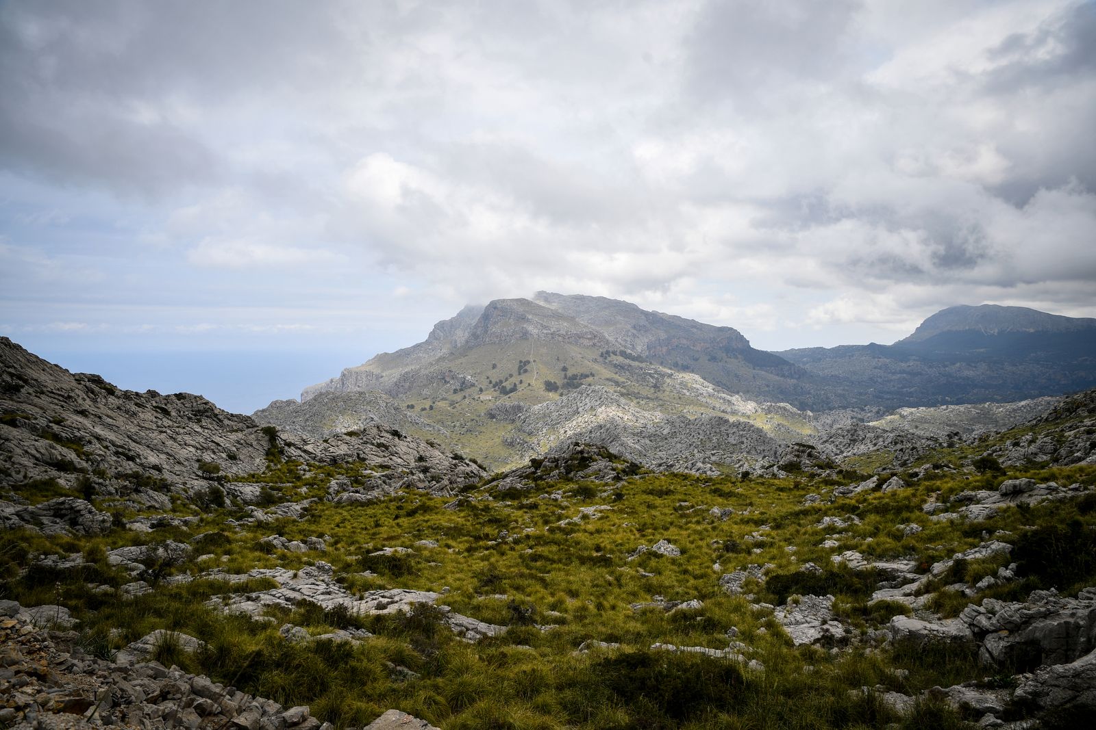
Serra de Tramuntana has signed trails and roadside viewpoints that already provide elevation and layered limestone ridges. A panorama or longer lens can preserve the landscape's scale without disturbing wildlife. Stay on authorised paths and respect closures.
For an aerial project, wait for written approval or select a precisely checked point outside protected land and restrictive zones. “Outside the park” still requires ENAIRE, landowner, people and safety checks.
Official Sources
- Balearic Islands Government: Serra de Tramuntana protected-area guidance
- AESA: UAS geographical zones and current guidance
- ENAIRE Drones: official Spanish planning map
- ENAIRE AIP: UAS zone data and update cycle
Two Green Lights Are Needed
A defensible Serra de Tramuntana flight needs a workable aviation result and the relevant protected-area approval, followed by safe real-world conditions. If either layer is missing, the mountains remain an excellent ground-photography subject rather than a drone launch site.
Rules change and vary by country. Check the national authority before you fly — every country page links straight to it.