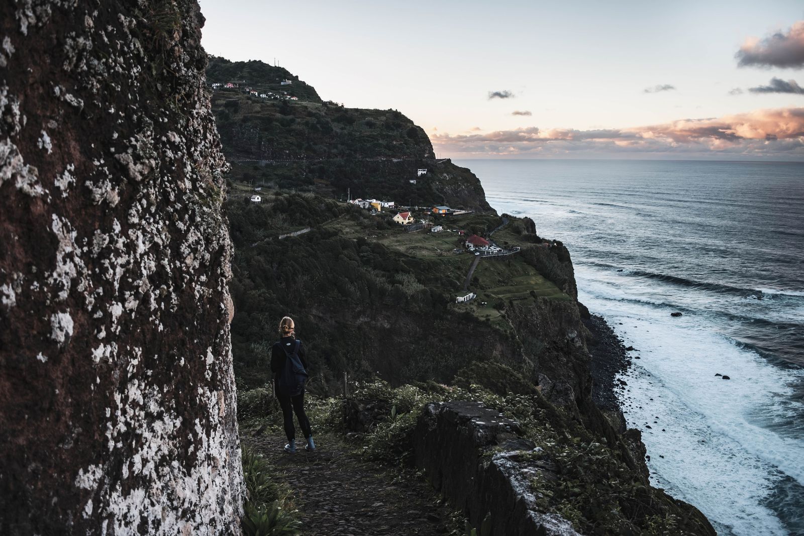
Short Answer: Madeira Requires Several Separate Checks
A drone flight can be possible in Madeira, but there is no single “Madeira permit”. You must check the exact route in Portugal's official geographical-zone map, deal with Portugal's separate aerial-imagery authorisation, and obtain the regional nature-authority approval when the operation is in a protected area. Trail access and land-manager conditions form another layer.
This matters at the places most visitors want to film. Pico do Areeiro and Pico Ruivo sit in the protected Central Mountain Massif, while Ponta de São Lourenço includes protected Natura 2000 and regional areas. Funchal and coastal locations can introduce airport, heliport, people and privacy constraints.
The Three Layers Visitors Commonly Mix Up
1. ANAC aviation rules and geographical zones
Portugal applies the EU Open-category framework: visual line of sight, a general 120-metre maximum from the closest surface, no flight over assemblies of people, and compliance with published zones. ANAC directs pilots to dnt.anac.pt for the official geographical-zone map. Madeira Airport, Porto Santo Airport and heliports make exact coordinates essential.
2. AAN authorisation for aerial imagery
Portugal's National Aeronautical Authority says aerial image capture requires its authorisation. Its guidance goes further: when an aircraft carries camera or FPV capability, it says authorisation is required even if you do not intend to record. This is separate from operator registration and airspace access.
3. IFCN approval in protected nature
Madeira's Institute of Forests and Nature Conservation lists an online service for authorisation of flights with unmanned aircraft. This is the regional nature layer for protected areas; an ANAC map check does not replace it. Use the current Simplifica service linked by IFCN and describe the exact operation.
How the Layers Affect Popular Madeira Locations
Pico do Areeiro and Pico Ruivo
The peaks are within the Central Mountain Massif protected area. The terrain can hide the aircraft from the pilot, wind can accelerate across ridges, cloud can arrive quickly and rescue helicopters must always have priority. Check IFCN authorisation, the official route status and required trail reservation before travel. A hiking booking is not drone permission.
Ponta de São Lourenço
The peninsula contains classified protected areas and exposed habitat. Treat it as a protected-nature operation and consult IFCN. A quiet-looking headland can still have hikers, nesting birds, strong crosswind and limited recovery options.
Funchal and the south coast
Urban density, homes, hotels, ports, medical heliports and airport zones can make a route unsuitable even away from the runway. Check DNT for the exact coordinates and do not fly over crowds or record into private spaces.
What About a Drone Under 250 g?
A C0 or legacy sub-250-gram drone can simplify some Open-category requirements, but a camera generally triggers operator registration. Low weight does not remove geographical zones, the AAN imagery process, IFCN nature controls, privacy or the ban on flying over assemblies.
If you live in the EU or EEA, register in your state of residence rather than again in Portugal. Other visitors should follow ANAC's current route. See the Portugal drone-law guide for registration, insurance and national details.
A Practical Madeira Workflow
- Choose exact coordinates and draw the complete route, including an emergency recovery area.
- Check the official ANAC DNT map and the conditions attached to every polygon.
- Confirm operator registration, pilot competency, aircraft class and insurance.
- Apply through the AAN's current aerial-imagery system for a camera-capable operation.
- Check IFCN's protected-area map and obtain its drone-flight authorisation where required.
- Check the official trail status, reservation requirement and site access.
- Reassess people, birds, wind, cloud, visual line of sight and crewed aircraft on the day.
The pre-flight checker can help organise the decision, but only the named authorities can grant their respective approvals.
Useful Alternatives When Flight Does Not Fit
Madeira's marked viewpoints and trails offer strong layered landscapes from the ground. A short telephoto lens can compress ridges; a panorama can show scale without adding aircraft noise to a crowded lookout. For commercial work, license footage with documented permissions or plan with local production support that can identify the relevant authorities.
Do not shift to a nearby lay-by and assume the problem is solved. The aircraft route, not only the pilot's feet, must fit the airspace, nature and people constraints.
Official Sources
- ANAC: Open-category requirements
- ANAC: cross-border operations and the DNT map
- AAN: unmanned aircraft and aerial-imagery authorisation
- IFCN Madeira: online services, including drone-flight authorisation
- IFCN Madeira: classified protected areas
- Visit Madeira: official trail status and reservation information
Permission Is a Stack, Not a Checkbox
Madeira can support a responsible drone operation when the exact location, approvals and conditions align. The useful answer is a sequence: DNT airspace, AAN imagery, IFCN nature, access, then real-world people and weather. If any layer fails, use one of the island's excellent ground viewpoints instead.
Rules change and vary by country. Check the national authority before you fly — every country page links straight to it.