Introduction: There Is No Universal Airport Radius
Do not plan a European drone flight by drawing a five-kilometre circle around an airport. The shape, height and conditions of airport-related UAS geographical zones are published nationally and can follow runways, approach paths, controlled airspace or locally assessed risks. A small aerodrome or heliport can matter even when it does not look like a major airport.
The safe method is to use the official national UAS map for the exact route, read the conditions attached to every zone and obtain permission through the authority named there. A manufacturer warning, an old map or visual distance from a runway is not clearance.
Why Airport Restrictions Exist
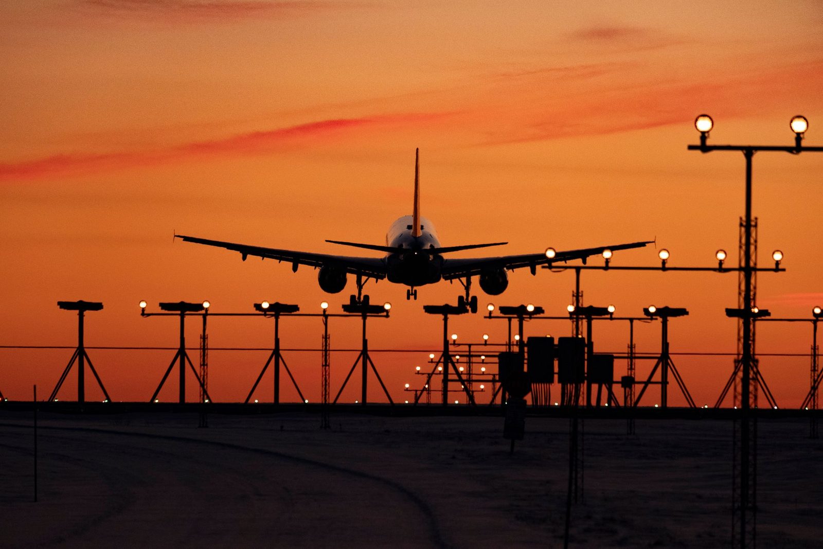
Manned aircraft can be low, fast and difficult to hear until late in an approach. Pilots have limited ability to see a small drone, and a remote pilot may misjudge distance or closure speed. Airport restrictions protect approach and departure paths, circuit traffic, helicopters, emergency operations and people on the ground.
The EU Open-category rules require the remote pilot to avoid any collision risk, discontinue a flight when continuing could pose a risk to other aircraft and comply with geographical-zone conditions. Flying close to or inside an emergency response area also requires permission from the responsible service.
Controlled Airspace and UAS Zones Are Related but Not Identical
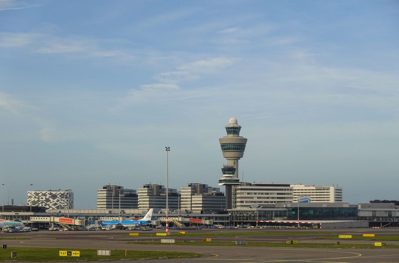
A control zone, aerodrome traffic zone or other manned-aviation structure may influence drone restrictions, but the drone pilot should follow the UAS geographical-zone publication and its instructions. Do not assume that being outside a CTR makes a flight legal, or that every point inside controlled airspace uses the same procedure.
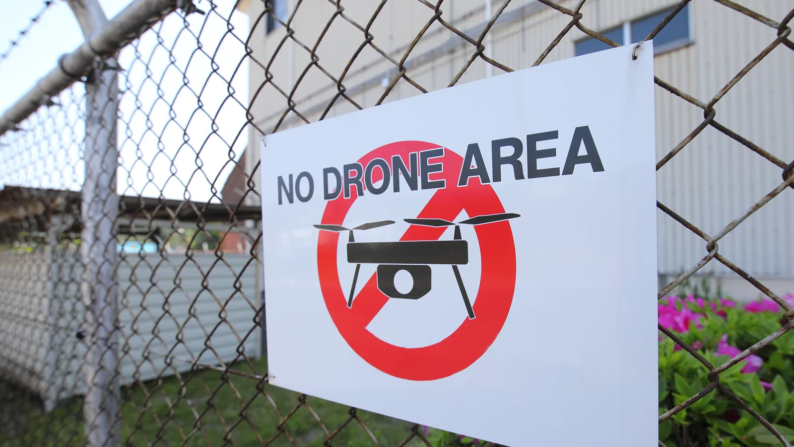
A zone may prohibit the flight, set a reduced maximum height, require notification or prior flight authorisation, restrict certain drone classes or specify technical features. Overlapping security, military, prison, nature or temporary zones may impose additional conditions.
Airports that are easy to miss
Check for hospital and rescue heliports, military fields, glider sites, microlight strips, seaplane activity and seasonal aerodromes. Not every facility has a large terminal or obvious runway. The official map and aeronautical information named by the national authority are more reliable than what can be seen on satellite imagery.
What the Pilot Must Establish
- whether the full route enters an active UAS geographical zone;
- the zone’s lower and upper limits, validity and operating conditions;
- which body can issue the required flight authorisation;
- whether air traffic services, the aerodrome or another authority must be contacted;
- whether separate Open- or Specific-category requirements apply;
- how the flight will remain clear of manned traffic and emergency operations.
A flight authorisation for a geographical zone is not the same as a Specific-category operational authorisation. Depending on the operation, one, both or neither may be required. Follow the process displayed by the official map rather than contacting a control tower speculatively.
How to Check the Exact Location
- Use EASA’s National Aviation Authorities directory to reach the destination country’s official drone map.
- Plot the launch point, route, contingency area and likely return path.
- Select every overlapping polygon and read its detailed conditions.
- Check effective dates and temporary restrictions again shortly before flight.
- Confirm the aircraft class, subcategory, people separation and maximum height.
- Save the authorisation and any required contact or reference number offline.
Do not rely solely on a pan-European consumer app. An app can be useful only to the extent that its data source, update time and conditions match the national publication.
Requesting Permission
If the zone permits applications, provide the information requested by the named authority. A useful submission normally identifies the operator, pilot, aircraft, exact coordinates, height, date and time, purpose, communications, contingency plan and relevant competency or insurance evidence.
Approval may impose a narrow time window, height, route, telephone check-in or immediate stop instruction. Brief everyone involved and do not expand the operation beyond the written terms. A client deadline is not a reason to fly while an application is pending.
During an authorised operation
Maintain visual line of sight and active awareness of manned traffic. An observer can assist when roles and communication are clear, but does not transfer the remote pilot’s responsibility. If a helicopter or aircraft approaches, descend or land as appropriate and never attempt to “finish the shot”. Follow any required contact procedure in the authorisation.
Geofencing and U-space
Manufacturer geofencing may warn, limit or block a flight. It does not grant legal permission, and an unlocked aircraft can still be in prohibited airspace. From 2026, some class-labelled products use official national UAS-zone datasets more directly, but the remote pilot must still consult the official conditions.
U-space is a regulated framework for certain designated airspace and services; it is not a universal European permission app. Where a Member State designates U-space airspace, operators must comply with the applicable access and service requirements for that area.
Consequences Without Invented Fine Tables
Penalties are national and depend on the offence, risk, intent and consequences. Published maximums often cover broad aviation offences and should not be presented as a predictable ticket for “flying near an airport”. Authorities may investigate aviation, security and criminal provisions, seize evidence or pursue costs where disruption or danger occurs.
The practical conclusion does not require a dramatic number: an unauthorised airport-zone flight can endanger aircraft and disrupt operations. Use our verified penalties guide only for figures tied to a cited national source.
Airport-area Checklist
- Use the official map, not a fixed-distance rule.
- Check heliports and small aerodromes as well as major airports.
- Read zone details and validity, not only the colour.
- Apply through the named authority and wait for written approval.
- Keep the flight within the authorised time, height and route.
- Yield to manned aircraft and stop for emergency activity.
- Never treat geofencing as permission.
Official Sources
- EASA: official national drone resources
- EASA: geographical zones
- EUR-Lex: Regulation (EU) 2019/947
- EUR-Lex: U-space Regulation (EU) 2021/664
Conclusion
Airport safety is an exact-location problem, not a radius to memorise. Check the official UAS map, follow the named permission route and keep a conservative plan for manned traffic and emergencies. If the conditions or authority are unclear, do not launch.
Rules change and vary by country. Check the national authority before you fly — every country page links straight to it.