
Why Travel Creates Compliance Mistakes
Most tourist problems do not begin with reckless flying. They begin with carrying a familiar routine into a different national system: using the wrong registration, checking a manufacturer map instead of the official source, assuming a landmark is available because other people posted footage, or discovering a local condition only after arriving.
These ten mistakes are framed as planning failures rather than unverifiable stories about confiscations and fines. Correct them before travel and the decision not to launch becomes as normal as the decision to fly.
Mistake 1: Treating Sub-250 g as “No Rules”
A light drone can have more operating flexibility, but an operator may still need to register when the aircraft has a sensor capable of capturing personal data and is not a toy. Registration, pilot competency, people-distance rules and geographical zones are separate questions.
Register in the EASA Member State where the rules require you to register, display and load the operator number as required, and carry the confirmation. Use our registration guide for the current country process.
Mistake 2: Assuming a Photogenic Place Is Flyable
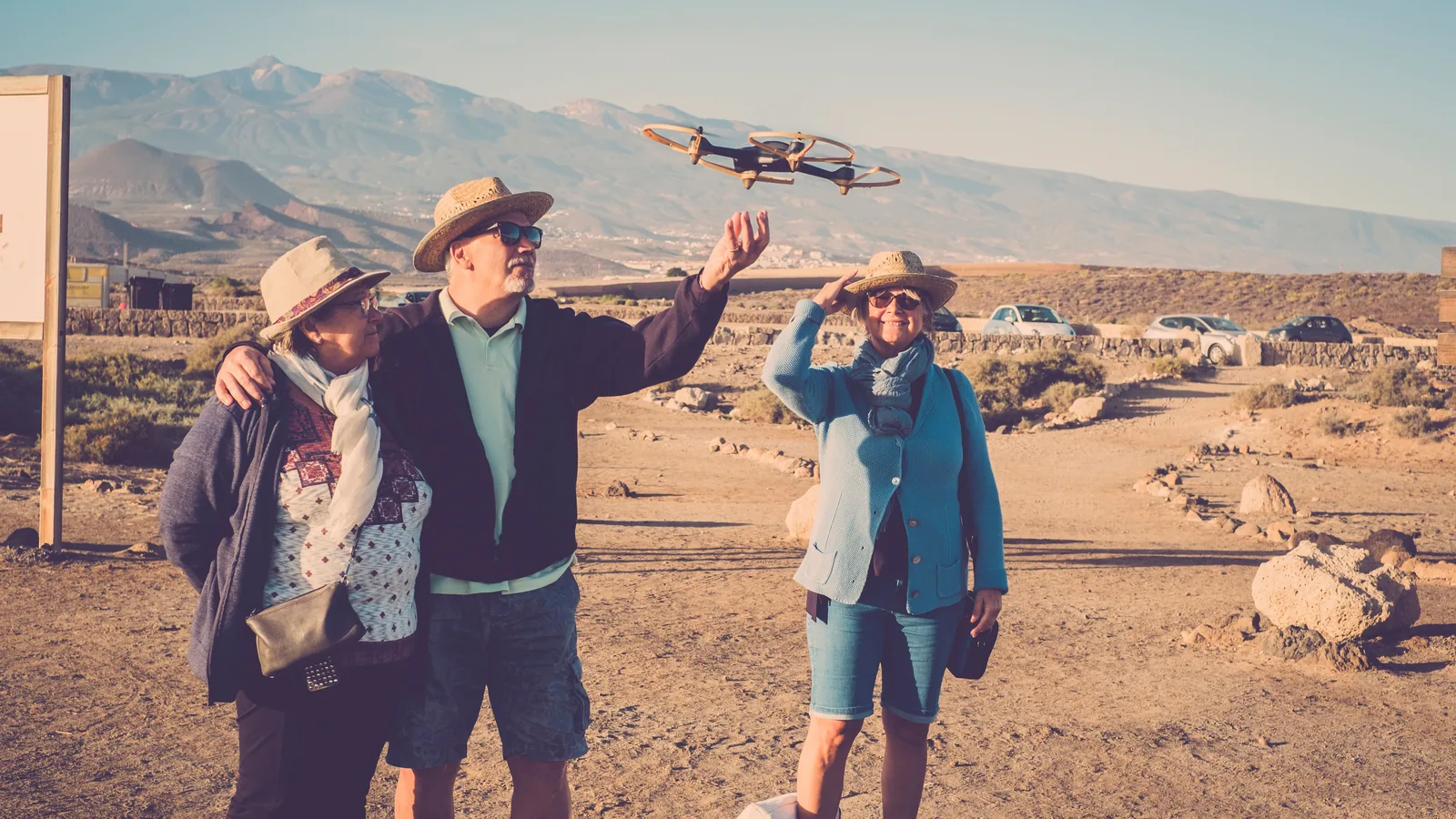
A landmark may sit inside an airport, security, heritage, nature or municipal restriction. Crowds may independently make an Open-category flight impossible. Do not replace an official check with social-media footage; the video may be old, authorised, filmed from outside the zone or unlawful.
Identify the exact site manager and check the national UAS map. A permission to photograph on the ground does not automatically authorise the flight, and airspace permission does not automatically grant access to the launch site.
Mistake 3: Using the Wrong Map
EASA directs pilots to the official national geographical-zone source. A manufacturer or third-party app can assist, but it is not a substitute unless the national authority designates it. Read each polygon’s height, validity and permission instructions, not only its colour.
Save the official link for every destination before departure and check it again shortly before the flight. See our official maps and apps guide.
Mistake 4: Reading Height from the Take-off Point
In the EU Open category, the general limit is 120 metres from the closest point of the surface, subject to the regulation’s obstacle provision and any stricter geographical-zone condition. Over sloping or mountainous terrain, the distance to the surface changes as the aircraft moves; the controller’s take-off-relative height is not the complete legal measurement.
Plan the terrain profile, remain within visual line of sight and respect any lower local ceiling shown by the official map.
Mistake 5: Treating Legal Airspace as Camera Permission
Aviation compliance does not settle privacy, data protection, image rights or surveillance law. Minimise identifiable people, homes, gardens, windows and vehicle plates. Define why you are recording, review footage before publication and check the destination’s national privacy rules.
There is no universal altitude that makes people anonymous. Use the workflow in our drone privacy guide.
Mistake 6: Planning Around Crowds
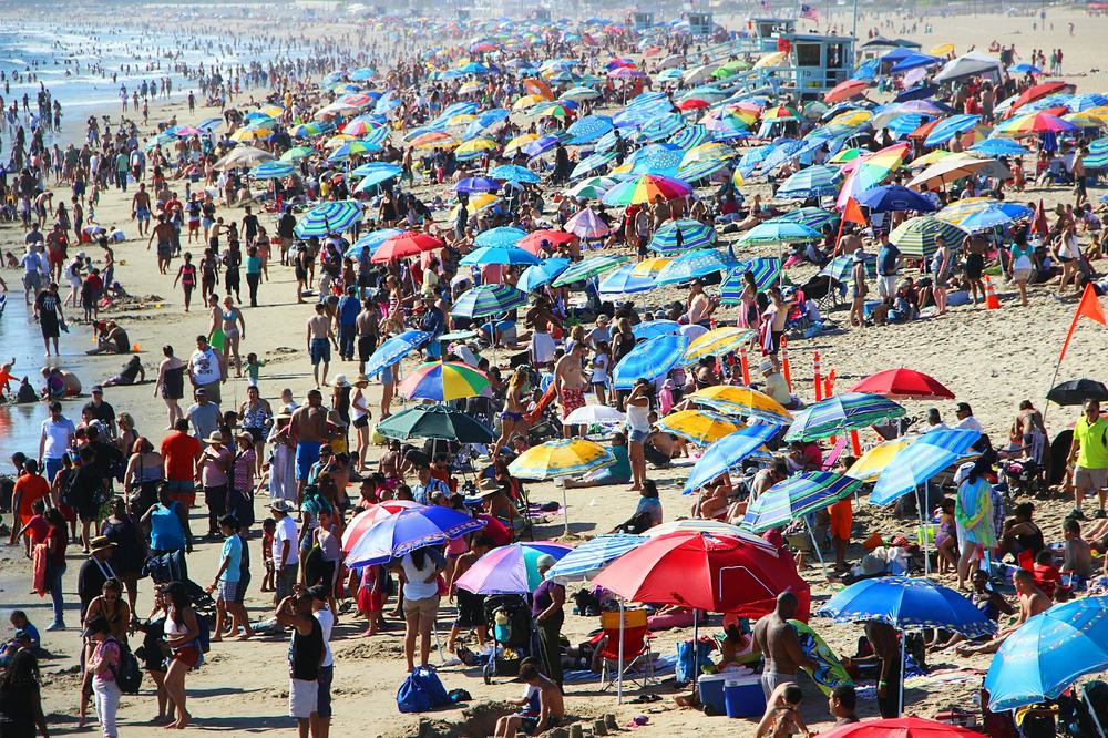
Assemblies of people may not be overflown in the Open category. A busy beach, festival, viewpoint or market can become unsuitable regardless of drone weight. Individual people also trigger different A1, A2 or A3 conditions according to the aircraft class.
Early timing can reduce people but does not override a permanent zone, park rule or seasonal wildlife closure. Keep a route that remains compliant when strangers move, plus a clear stop condition.
Mistake 7: Checking Only Ground-level Weather
Wind, gusts, temperature, precipitation, visibility and terrain effects can differ along the route. Compare a reputable forecast with observations, follow the aircraft’s operating limits and preserve enough battery for a headwind return. A generic “good to fly” indicator cannot assess your aircraft condition or recovery area.
Mistake 8: Leaving Evidence Online
Keep registration, competency, insurance and written permissions available offline. Some zone authorisations impose a reference number, contact procedure or time window. A dead phone or inaccessible email should not make it impossible to show the conditions under which you are operating.
Mistake 9: Confusing Europe, the EU and EASA
EU/EEA operator registration is recognised across the EASA system, including Norway and Iceland. Switzerland aligns with much of the framework but uses its own registration system; the United Kingdom also has a separate system. Several other European destinations sit outside the EASA framework.
Even inside the harmonised system, national geographical zones, insurance rules, privacy law and site restrictions differ. Check every country rather than assuming that one successful flight establishes a Europe-wide rule.
Mistake 10: Making the Trip Depend on a Flight
A zone update, crowd, nesting birds, wind, emergency response or equipment fault can remove a planned opportunity. Bring a ground camera, identify lawful viewpoints and be prepared to license authorised footage. A no-launch decision is successful risk management, not a failed trip.
If an Authority Approaches
Land when safe if instructed, remain cooperative and provide the relevant documents. Do not invent a permission or argue from a manufacturer map. National consequences vary by offence and circumstances, so generic “thousands of euros” claims are not useful. Our penalties guide publishes figures only where they are tied to official national sources.
Pre-travel Checklist
- Registration and pilot competency confirmed for the destination system.
- Operator number applied and loaded where required.
- Official UAS map saved for each country.
- Insurance scope confirmed in writing where relevant.
- Site, park, heritage and launch permissions checked.
- Airline battery rules checked directly with the carrier.
- Documents available offline.
- Ground-based backup plan ready.
Official Sources
Conclusion
Tourist compliance is mostly preparation: use the correct registration system, consult the official live map, separate airspace permission from site and privacy rules, and carry the evidence. The best travel plan includes places where a flight is possible and a satisfying alternative when it is not.
Rules change and vary by country. Check the national authority before you fly — every country page links straight to it.